
About the Project
The EcoAtlas tool set informs effective wetland management by providing public access to information about the quantity and quality of California streams and wetlands.
To support users in taking a landscape or watershed approach to wetland management, the EcoAtlas tools create a complete picture of aquatic resources in the landscape. They integrate various data layers (e.g., stream and wetland maps, restoration project information, and monitoring results) to provide the landscape context for the protection of existing wetlands and the design and implementation of wetland restoration projects.
The EcoAtlas tools can be used individually or together, and they can be adjusted or tuned to meet the specific needs of environmental planners, regulators, managers, scientists, and educators.
Key questions addressed by EcoAtlas Tools
Where are our aquatic resources? (CARI)
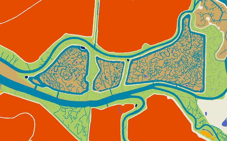
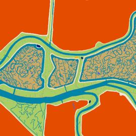
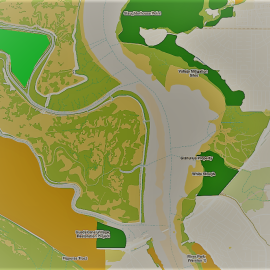
The California Aquatic Resources Inventory (CARI) is a seamless statewide map compiled from multiple data sources and standardized to a common classification system. This statewide dataset is hosted online through EcoAtlas and provides the best available map of state surface waters to coordinate monitoring and assessment at the landscape scale across federal, state, and local agencies, while providing enough detail to inform local land use planning.
CARI’s Geographic Information System (GIS) dataset of surface waters and their riparian areas include data-rich attributes that can be used for developing landscape summaries of aquatic resource quantity and quality at a variety of scales.
Accompanying CARI is the CARI Editor, an interactive, online GIS mapping interface that facilitates user-generated updates to information associated with the CARI dataset. When users encounter any discrepancy between CARI and the actual landscape, they can suggest changes that can be reviewed and incorporated into the authoritative CARI data, thereby ensuring CARI remains current and readily applicable for decision making.
Learn more about CARI on its project page.
How are our wetlands doing? (CRAM)
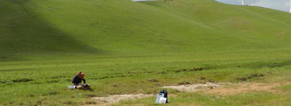
The California Rapid Assessment Method (CRAM) is a standard method to measure the condition of various wetland features. This rapid assessment information offers both a high-level view to decision-makers and more detailed information for wetland managers, researchers, and other stakeholders. As a rapid assessment method, its cost effectiveness makes possible repeated monitoring visits and adoption by regional monitoring programs across the state, as well as by restoration and mitigation projects.
Because the methodology is standardized for seven major wetlands types and their subtypes, it is broadly applicable throughout California and can be used to compare wetlands to each other and over time at statewide, regional, and local scales.
On EcoAtlas, CRAM works hand-in-hand with more intensive site monitoring data to address site-specific scientific monitoring questions.
Learn more about CRAM on our CRAM page and the CRAM website.
Where are our habitat projects and what are their objectives? (Project Tracker)
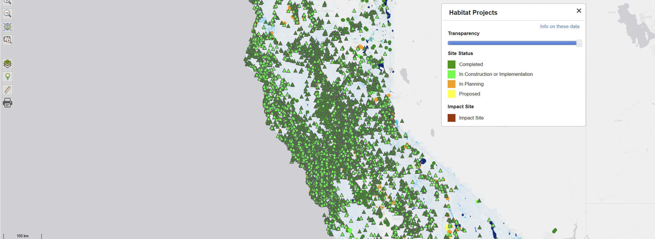
Project Tracker standardizes habitat project data for analytical and reporting purposes. It is the most comprehensive dataset for project information in most regions of California and includes various project types (voluntary restoration, mitigation, enhancement, and protection).
Project Tracker as the best source of project information for the San Francisco Estuary and is used by key programs organizations:
- Project Tracker provides the data for the restored tidal wetlands updates in the State of the Estuary 2019 Update and The Pulse of the Bay.
- It tracks San Francisco Bay Restoration Authority funded and eligible projects and generates the South Bay Salt Pond Restoration Project maps.
- The San Francisco Bay Joint Venture tracks their habitat projects in Project Tracker so they can advance projects and generate summaries on progress towards meeting regional goals. Additionally, Project Tracker can assist with developing survey designs that target data collection near restoration sites.
How are our habitat projects developing? (CRAM Habitat Development Curves)
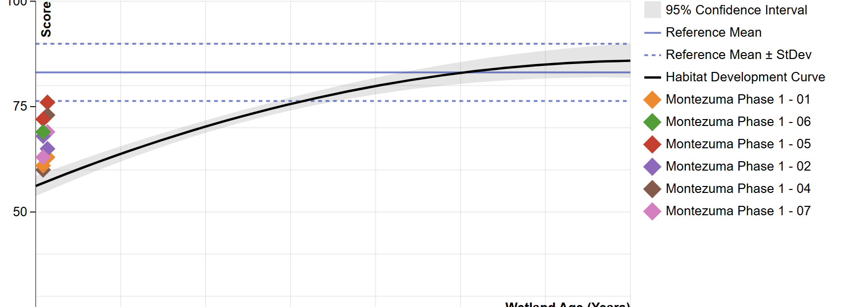
EcoAtlas not only provides information on where habitat projects are located, if CRAM data exists for a given site in Project Tracker it also generates CRAM habitat development curves. This project-level tool provides key information on current wetland condition and projected development over time. Each development curve is based on assessments of habitat condition for different age areas of one habitat type that in aggregate represent the full spectrum of habitat development. Habitat development curves can be used to answer the following questions:
- At what time in the future will the area of assessed habitat achieve the reference condition or other milestones in habitat development?
- Is the area of assessed habitat likely to develop faster, slower, or at the same pace as most other areas of the same habitat type?
- What can be done to improve the condition of the habitat area or to increase its rate of development?
How can I synthesize the data? (Summary Tools)
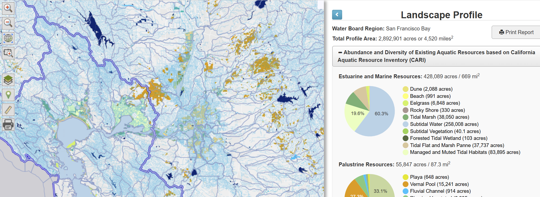
EcoAtlas’ summary tools, such as the Landscape Profile Tool and Dashboards, synthesize information provided by CARI, Project Tracker, and other relevant datasets for different audiences. These dynamic visualizations help measure the cumulative benefits of public policies and programs for California's aquatic resources.
Synthesized project information, contributed by restoration practitioners and permittees, can be dynamically queried in understandable regional summaries. Agency and program executives can quickly access relevant information to address management questions. As interactive summaries, the Landscape Profiles and dashboards are useful in the context of local, regional, and statewide agency programs, where interested users can explore the summarized information at various spatial scales.
EcoAtlas’ summary tools also reveal differences in the availability of information from place to place and identify missing information to help address these data gaps in the future.
Users can also access data on a project-by-project basis using the EcoAtlas download tools, which can be filtered by numerous geospatial, categorical, and other means.
WRAMP, EcoAtlas’ Guiding Science
EcoAtlas is the toolset of the Wetland and Riparian Area Monitoring Plan (WRAMP) developed by the California Wetland Monitoring Workgroup (CWMW). The tool sets’ functions, data, and resulting outputs -- maps, charts, and analyses -- reflect the methods and peer-reviewed studies that emerge from WRAMP.
Learn more on our WRAMP page.
Project Partners
Numerous federal, state, local agencies and non-governmental organizations promote public policies, enforce regulations, and monitor programs that benefit California’s aquatic resources. Together, those organizations have co-created the EcoAtlas toolset by contributing scientific expertise, technical knowledge, management questions, data, in-kind services, and/or funding.
Visit the EcoAtlas Partners page.




















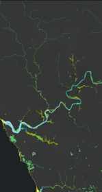
New Basemap of Surface Waters and Riparian Areas in the Russian River Watershed
In collaboration with regional partners, SFEI is developing a comprehensive standardized basemap to support the Russian River Regional Monitoring Program and regional needs. The Russian River Aquatic Resources Inventory uses automated, repeatable methods to deliver up‑to‑date mapping of wetland habitats.
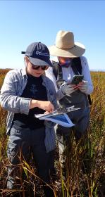
A Milestone! 10,000 Wetland Condition Assessments Publicly Shared on EcoAtlas
On November 11, 2025 we reached an exciting milestone: 10,000 wetland condition assessments are now publicly available on EcoAtlas. This statewide visualization and mapping tool expands public access to environmental information, supporting wetland protection, restoration planning, and project performance tracking.

400+ projects in Central Coast updated in EcoAtlas!
Olivia Beaudoin, UCSC created a workflow and updated over 400 restoration projects located along the Central Coast in EcoAtlas Project Tracker.
Challenges and Lessons Learned
Baylands Habitat Map wins Outstanding Environmental Project Award at State of the Estuary!
Baylands Habitat Map receives Outstanding Environmental Project Award from the Friends of the San Francisco Estuary at this year’s State of the Estuary Conference! Baylands Habitat Map receives Outstanding Environmental Project Award from the Friends of the San Francisco Estuary at this year’s State of the Estuary Conference!
WRMP Releases Multiple Tools for Region-wide Planning
This summer marks a major milestone in regional data collection as the Wetlands Regional Monitoring Program and several key agencies launch the first Estuary-wide low tide LiDAR (Light Detection and Ranging) elevation collection. The data will enhance our understanding of our wetlands, shorelines, and restoration progress.
EcoAtlas Essentials Webinar Showcases Practical Tools for Ecological Planning
On October 1, 2025, the San Francisco Estuary Geospatial Workgroup (SFEGWG) hosted EcoAtlas Essentials: Practical Tools for Effective Ecological Planning, a webinar designed to guide participants in exploring how EcoAtlas supports data-driven ecological planning across California.
Helping California Track and Protect Its Wetlands
With millions spent on restoration projects across California, how are we able to consistently track the condition of wetlands—or the success of projects meant to protect them? Tools like SFEI’s EcoAtlas, Project Tracker, and CRAM are changing that. By bringing transparency, accountability, and science into the permitting process, these tools help ensure wetlands are not only restored, but truly recovered.
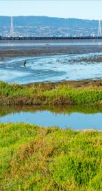
Tracking Tidal Wetland Extent in San Francisco Bay
The Wetlands Regional Monitoring Program updates acreage, highlighting restoration efforts. The WRMP delivers coordinated regional monitoring of the San Francisco Estuary’s wetlands to inform science-based decision-making for wetland restoration and adaptive management and increase the cost-effectiveness of permit-driven monitoring associated with wetland restoration projects. Learn how these new products advance our understanding of tidal wetland monitoring in the Estuary.
Mapping our Wetlands: Explore the Latest CARI Updates
CARI is a statewide dataset that compiles the most comprehensive wetland mapping available in California. It serves as a valuable resource for coordinating landscape-scale monitoring and assessment across multiple agencies.
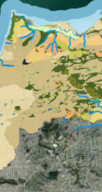
WRMP Webinar Series: Introducing the Baylands Habitat Map 2020!
The San Francisco Estuary Wetlands Regional Monitoring Program (WRMP) held a webinar on October 15, 2024 to introduce the recently released Baylands Habitat Map 2020.
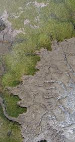
Tracking Coastal Habitat Change Over Time: Considerations for a Statewide Mapping Program
Managing California’s coastal habitats and tracking progress requires up-to-date and comprehensive mapping. So far, that mapping has only happened periodically, and often in a piecemeal manner. We summarized options for routinely mapping coastal wetlands, beaches and dunes, eelgrass, and rocky intertidal coastal habitats statewide in a new report for California’s Ocean Protection Council.

Enhanced Landscape Profile Modes in EcoAtlas deliver new insights
EcoAtlas is a mapping and geographic data visualization tool that continues to evolve to meet emerging needs. The toolset now includes new data layers and summaries to support the watershed planning, tracking, and reporting needs for the state.

The Wetland Regional Monitoring Program for SF Estuary enters significant new phase
The Wetlands Regional Monitoring Program or WRMP is a broad, multi-organizational effort designed to produce coordinated and rigorous science about the baylands in the San Francisco Bay area. Through the power of diverse partnerships, a broad network of stakeholders are working rapidly to protect and restore wetlands that can provide flood protection, tribal, community and recreational benefits, water quality improvement, wildlife habitat, and other benefits for surrounding communities. To meet a regional target of 100,000 acres restored by 2030, close coordination is needed between managers, scientists, community groups, tribal partners, and regulators. However, this project-by-project approach to restoration monitoring has left our state, regional, and local decision makers effectively insensitive to the overall regional conditions that might bear direct influence over restoration success and failure. As the effects of climate change and sea level rise generate their own set of challenges, the WRMP will improve the success of wetland restoration projects by putting in place regionally coordinated monitoring that will increase the impact, utility and application of monitoring to inform adaptive management.
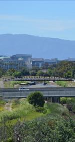
Assessing Five Watersheds in Santa Clara County
A new synthesis report characterizing the amount, distribution, and diversity of streams and wetlands within the County employing CARI, and an ambient survey of the overall ecological condition of streams employing CRAM.

SF Estuary Wetlands Regional Program Plan Released!
The Wetland Regional Monitoring Program (WRMP) Plan has been released! The WRMP will improve wetland restoration project success by putting in place regional-scale monitoring increasing the impact, utility and application of permit-driven monitoring to inform science-based decision-making.

We offer you a simple tool that we created for our 75-person “work community” to help each other that yours might also find helpful. This is a mapping tool, which we call Care in the Time of Corona. It helps us locate and efficiently provide the support that our SFEI staff might offer one another. Quite simply, it facilitates assistance within our organization so that people can help their colleagues deal with challenges of this unprecedented situation. The errands, food, medicine, or even compassionate discussion they need can be addressed through a convenient and filterable map. We hope this guidance and the spirit behind it will help support your community and sustain a sense of well-being as we meet this challenge head on together.
Project Tracker assists with regional reporting
More and more groups rely on Project Tracker to assist with their reporting. Why? Because Project Tracker standardizes project data across programs so it is easier to summarize information for reporting purposes.
California Rapid Assessment Method for Wetlands (CRAM) Updates
CRAM Training sessions for 2020 have been posted on the CRAM website.

New data layers and Landscape Profile mode added to EcoAtlas
New data layers and Landscape Profile mode have been added to EcoAtlas (ecoatlas.org), an online tool for visualizing the abundance, diversity, and condition of wetlands, along with the project activities that are affecting the landscape. Enhancements include:
In addition to making water quality data accessible, SFEI’s GIS Team compiles spatial datasets and metadata that are available for downloading from SFEI’s Data Center page.