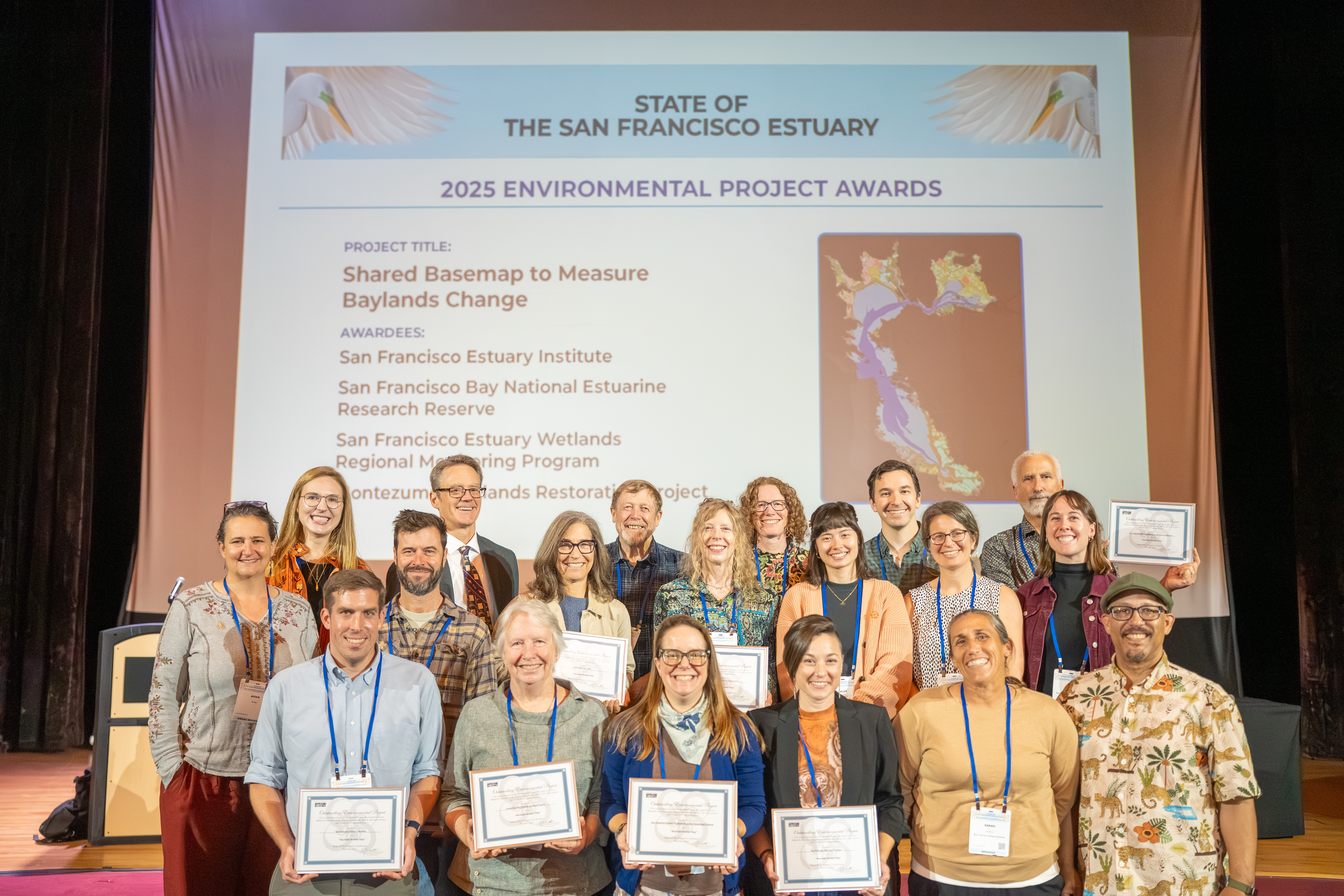
Baylands Habitat Map receives Outstanding Environmental Project Award from the Friends of the San Francisco Estuary at this year’s State of the Estuary Conference!
The Baylands Habitat Map (BHM 2020) was collaboratively developed by the San Francisco Estuary Institute and the San Francisco Estuary Wetlands Regional Monitoring Program’s Geospatial Workgroup, with funding from the USEPA Water Quality Improvement Fund. As the first comprehensive map of San Francisco Bay’s wetland and aquatic habitats since 2009 (BAARI 2009; sfei.org/baari), BHM 2020 provides updated mapping of tidal habitats and diked baylands—enhancing our understanding of the impact of recent habitat changes and restoration efforts. Leveraging innovative automated mapping techniques, this project marks a major advancement in tracking habitat change in the Bay and establishes a foundation for consistent mapping and change detection in the years ahead.
Presented by the Friends of the San Francisco Estuary.








Other Individual Contributors
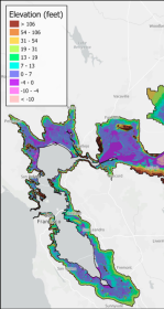
First High-Resolution Elevation Map for Whole Bay-Delta
A new mapping effort has produced the first high-resolution elevation data across the entire San Francisco Bay-Delta Estuary. The sub-ten-centimeter vertical accuracy makes the data key tool to planning for flood risk, sea level rise, and habitat restoration.

California Aquatic Resource Inventory v3.3 has been published!
This latest update integrates two of SFEI’s recent regional semi-automated mapping efforts into the CARI dataset. A major addition is the newly released Russian River Aquatic Resource Inventory (RRARI) v1.0, which spans the entire Russian River watershed and Sonoma County.