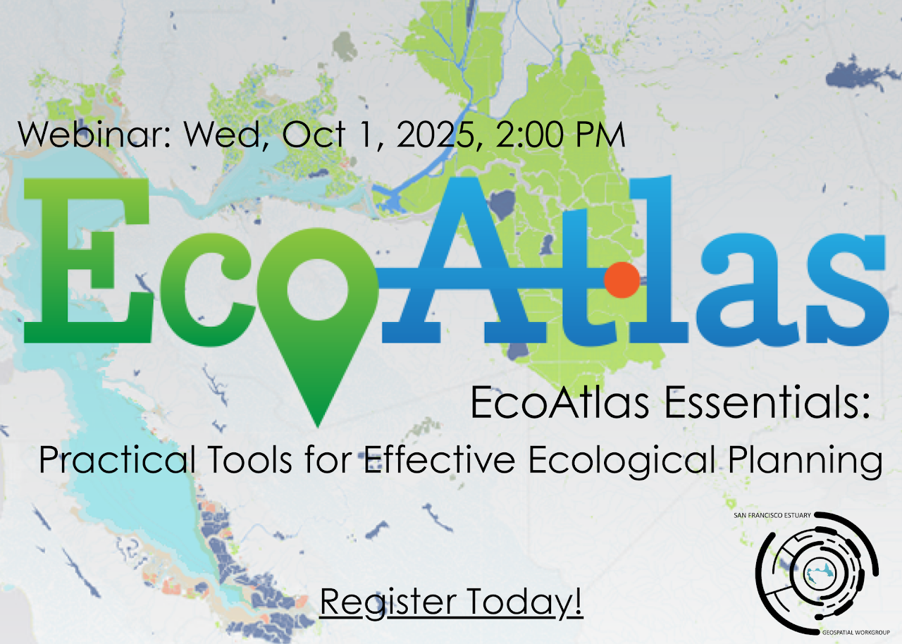
On October 1, 2025, the San Francisco Estuary Geospatial Workgroup (SFEGWG) hosted EcoAtlas Essentials: Practical Tools for Effective Ecological Planning, a webinar designed to guide participants in exploring how EcoAtlas supports data-driven ecological planning across California.
Led by Cristina Grosso (SFEI), Managing Director of the Environmental Informatics Program, the session introduced key features of EcoAtlas, an interactive mapping and reporting platform that integrates data on aquatic resources, restoration projects, and habitat conditions. Cristina demonstrated five essential tools within EcoAtlas – California Aquatic Resource Inventory (CARI)/ Baylands Habitat Map, Project Tracker, Habitat Development Curves (HDC), Landscape Profile Tools, and Dashboards – that make environmental information more accessible and actionable for practitioners.
Several of SFEI’s partners shared how they are using EcoAtlas to meet planning, tracking, and reporting needs across the San Francisco Bay region:
- Todd Hallenbeck (BCDC) shared how EcoAtlas data informs regional sea level rise planning and funding coordination for efforts such as the Regional Shoreline Adaptation Plan Atlas and the Bay Adapt Currents Dashboard;
- Lisa Schile-Beers (SFEI) showcased EcoAtlas’ Landscape Profile Tool and how it displays metrics used by the Wetland Regional Monitoring Program (WRMP) to track tidal wetland restoration progress;
- Sarah Pearce (SFEI) described how the California Rapid Assessment Method (CRAM) data can be accessed through EcoAtlas and used to assess wetland condition of our aquatic resources and restoration efforts;
- Erica Johnson (SFBRA) presented the SFBRA EcoAlas dashboards that are used to communicate Measure AA-funded restoration progress to the public; and
- Heidi Williams (Valley Water) demonstrated how EcoAtlas supports tracking progress towards the Watershed Master Plan’s objectives and priority actions, and identifying opportunity areas for native ecosystem enhancement along Coyote Creek using the CCNEET tool.
The event wrapped up with a discussion on expanding EcoAtlas’ data integration capabilities and opportunities for collaboration with regional and state partners to improve ecological data sharing and decision-making.
For those who missed it, both the recording and slides are available:
Visit ecoatlas.org to explore the platform and learn more about how it supports effective ecological planning across California.





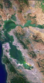
The Atlas for Regional Shoreline Adaptation Planning
The Regional Shoreline Adaptation Plan Atlas is a comprehensive resource for understanding and addressing the impacts of sea level rise along shorelines. Learn more about the San Francisco Bay Conservation and Development Commission's new tool to serve the best available science and information to a receptive community of municipal planners.

New Baylands Habitat Map Tracks Restoration Progress
The Baylands Habitat Map 2020 is the first complete map of San Francisco Bay wetland and aquatic habitats produced since 2009. It provides updated maps of tidal habitats and diked baylands, expanding our understanding of the full impact of recent habitat change and restoration.

Enhanced Landscape Profile Modes in EcoAtlas deliver new insights
EcoAtlas is a mapping and geographic data visualization tool that continues to evolve to meet emerging needs. The toolset now includes new data layers and summaries to support the watershed planning, tracking, and reporting needs for the state.