SFEI advances automated wetland mapping with a comprehensive basemap for the Russian River Watershed and Sonoma County.
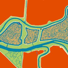
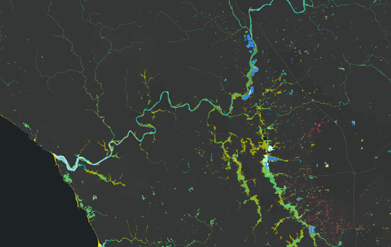
In collaboration with regional partners, SFEI is developing a new, standardized basemap to support the Russian River Regional Monitoring Program and regional needs. The Russian River Aquatic Resources Inventory uses automated, repeatable methods to deliver up‑to‑date mapping of wetland habitats. The results are essential for tracking regional conditions and progress toward long‑term goals. The final map is scheduled for release in early 2026.
To generate the new basemap, the mapping team used updated 2022 and 2023 lidar and streamlines mapped by NV5 Geospatial to USGS standards, and developed automated workflows that combine advanced Object Based Image Analysis approaches with ruleset-based classification. In addition to producing a standalone GIS dataset, the RRARI map will be integrated into the California Aquatic Resource Inventory, shared with the National Wetland Inventory, and made accessible through EcoAtlas’ interactive map.
This project marks an important step forward in developing automated wetland mapping techniques that can be further refined and applied to other regions of the state. It builds on SFEI’s prior work, including the Baylands Habitat Map 2020 and the San Diego Aquatic Resources Inventory.
The final map is scheduled for release in early 2026. Funding support was provided by the USEPA, USGS, Permit Sonoma, Sonoma Water, and Ag & Open Space.