Areas of Expertise
Education & Credentials
Contact Info
Background
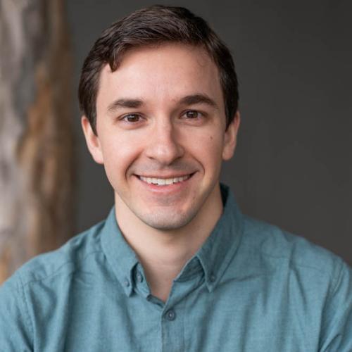
Pete Kauhanen is an experienced environmental scientist, planner, UAS expert, GIS specialist and manager with well over 10 years' experience generating, obtaining, and analyzing GIS data for environmental projects. He has a background in habitat mapping, watershed ecology, green infrastructure planning, fire management, promoting indigenous knowledge and inclusion to address conservation goals, as well as mitigation and conservation projects. He earned both his MA and BA from Stanford University where studied ecology, behavioral ecology, and paired GIS with environmental anthropology. For his Masters thesis he created a 10 year fire history for a region of the Western Desert of Australia to quantify the effects of the Australian Aboriginal Martu people's use of controlled burns on biodiversity. That research resulted in changes in the prescribed burn policy of Western Australia’s Department for Environmental Conservation and have broad implications for fire management and climate change adaptation. Most recently, Pete has been leading the GIS team in pursuing automated mapping of wetland habitats, utilizing UAS (or drones) to monitor wetlands and for trash surveys. Pete continues to bring his GIS experience to bear on projects where scientific research intersects policy and management decisions.
Highlighted Work at SFEI
Publications
Projects
Tracking Coastal Habitat Change Over Time: Considerations for a Statewide Mapping Program
Building Capacity for the San Diego Wetland Regional Monitoring Program
Adapting to Rising Tides: East Contra Costa Shoreline Flood Explorer
Vernal Pool Habitat Restoration and Protection CRAM Tools for the Central Valley, CA
Development of a Trash Monitoring Method for Tobacco Product Waste
Russian River Watershed Projects at the San Francisco Estuary Institute
Statewide Wetland Tracking, Science, and Policy Development Support
News & Events