400+ projects in Central Coast updated in EcoAtlas!
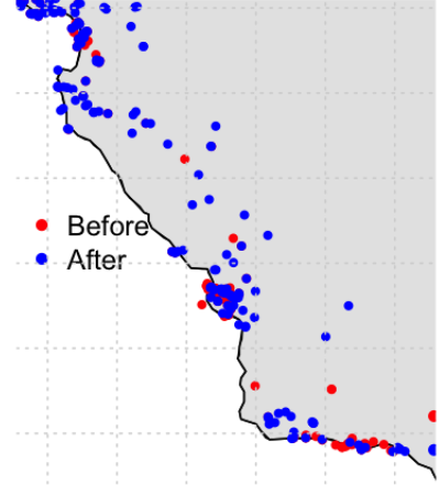
Olivia Beaudoin, UCSC created a workflow and updated over 400 restoration projects located along the Central Coast in EcoAtlas Project Tracker.
Challenges and Lessons Learned
- Most projects did not have a kmz/kml file available to draw map boundaries, I had to eyeball from a project map. If there was one not available, there are still some circles.
- Some projects were so old that the folks I contacted did not know what I was referencing.
- Some projects in the Master Sheet did not have an end date, so I had to mark the Project End Date as “Unknown/Unspecified”.
- Some lat/long coordinates were for the closest building to the project site. I chose the closest point of contact for the water source.
Other Individual Contributors
Olivia Beaudoin, UCSC
Kevin O'Connor, CCWG
Adina Paytan, UCSC