Forward-leaning opportunities for new technologies
The Environmental Informatics program adapts and adopts new technologies for habitat assessment and monitoring. Whether the team is flying UAS (drones) over creeks, rivers, and marshes to identify trash or using a mobile app to count and categorize tobacco product waste, our technologists are always looking for better ways to gather data to inform decision making.
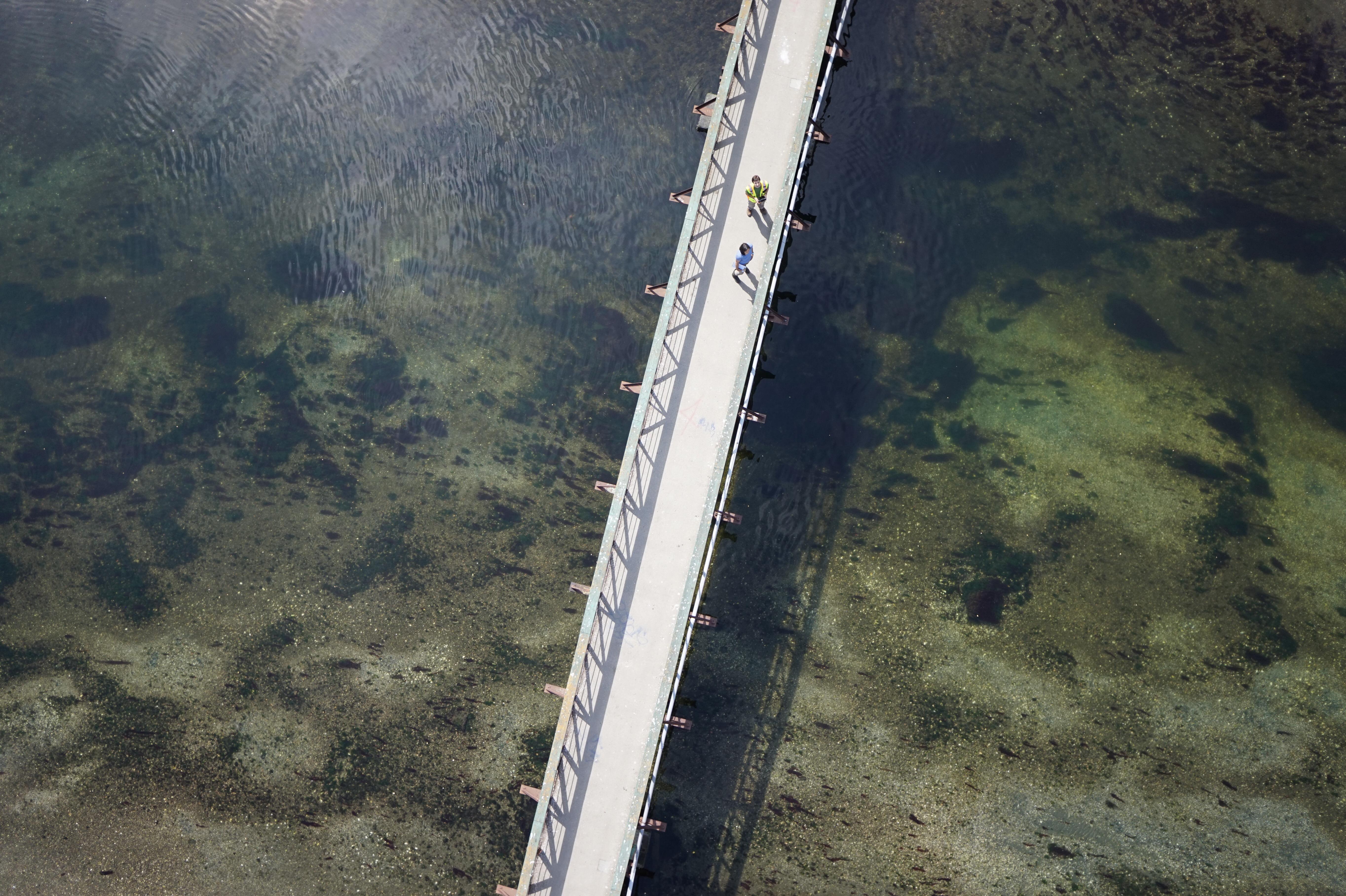
Our UAS Pilots are at your service!
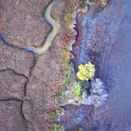
SFEI has developed novel, cost-effective solutions to costly problems. In particular, our work with drones or Unoccupied Aerial Systems (UAS) has yielded very promising results. We have used UAS to address a number of scientific challenges and use cases. SFEI applications of UAS include, wetland monitoring, restoration monitoring, sediment volume estimations, and trash surveys leveraging machine learning algorithms. In the course of our use of UAS, we have derived some useful analyses on the technology that lend the resulting products credibility and reliability.
EcoAtlas, a mapping tool to plan, assess, and track wetland restoration
EcoAtlas is a set of tools for generating, assembling, storing, visualizing, sharing, and reporting environmental data and information. The tools can be used indvidually or together, and they can be adjusted or tuned to meet the specific needs of environmental planners, regulators, managers, scientists, and educators.
The best maps to represent California’s aquatic resources can be found in EcoAtlas, where they span multiple programs across California and help restoration practitioners communicate about their projects while agency planners and regulators leverage the wealth of current and legacy data to make key decisions about the future of our wetlands.
Latest News
Sun, Oct 11 2026
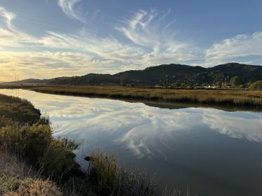
Bridging the Gap for Wetland Restoration
Wed, May 13 2026
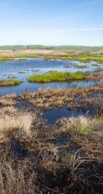
New Snapshot of Bay’s Tidal Wetland Recovery
Tue, Apr 28 2026
Explore Tidal Marsh Metrics with EcoAtlas WRMP Profile Tool

Fri, Mar 6 2026
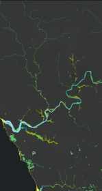
California Aquatic Resource Inventory v3.3 has been published!
Featured Projects
ASSOCIATED STAFF