There are no environmental solutions without geospatial data
Geographic Information Systems, or GIS, is a powerful and dynamic tool that allows complex analyses to be applied to the landscape. SFEI uses this technology to create practical tools that support better decision-making and promote smart solutions for environmental problems.
Mapping Geospatial Data
Locating problems on the landscape, designing compelling maps, and analyzing geospatial data are routine practices to our GIS team. SFEI staff and external stakeholders alike depend on SFEI’s advanced GIS to inform decisions that matter.
SFEI’s GIS focus area supports the Institute’s mission through data production, mapping expertise, spatial analysis, and application development. The department serves three major functions:
- Data collection
- Data analysis
- Generating information, maps, and other visualizations

Remote Sensing Technologies
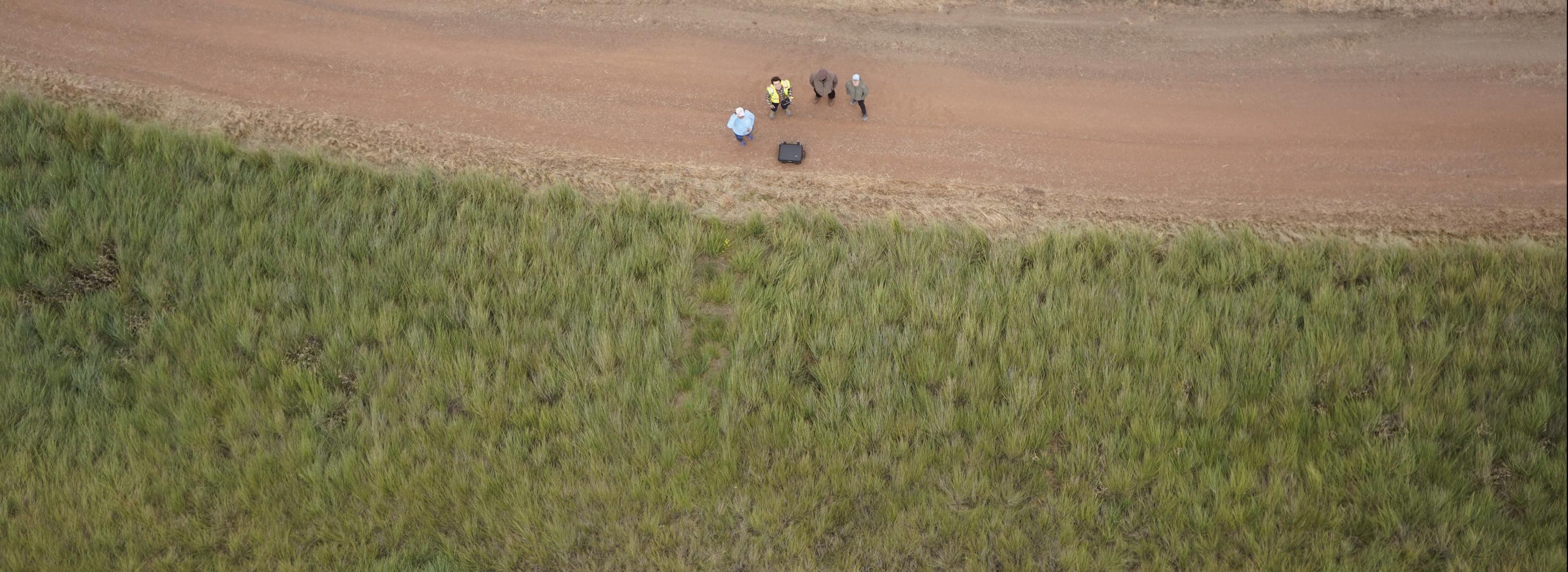
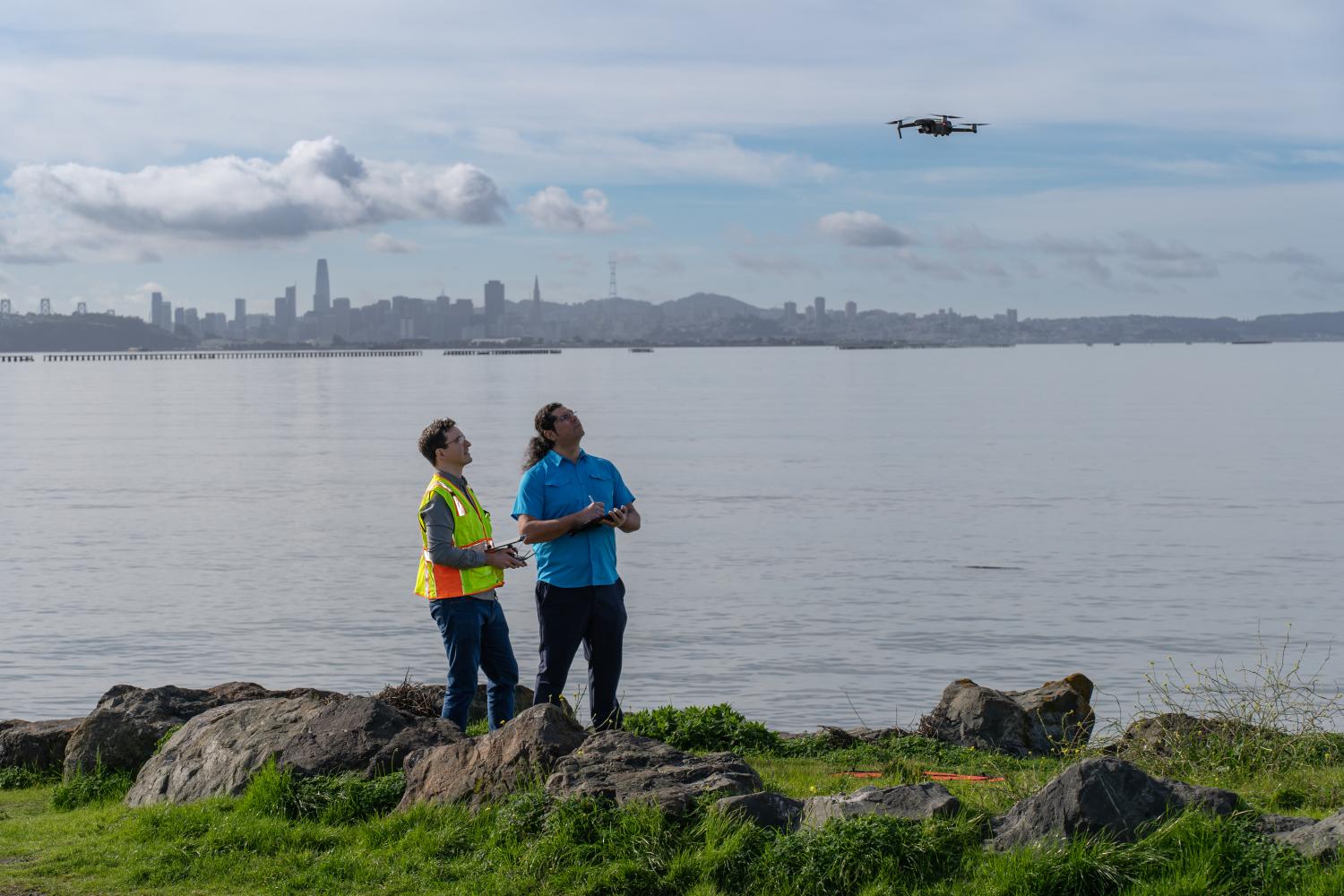
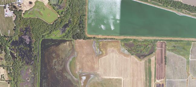
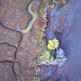
SFEI has invested in novel and efficient solutions to costly problems by capitalizing on recent advances in remote sensing and GIS technology, such as the use of drones (Unoccupied Aerial Systems), machine learning, and other automated mapping methodologies to address environmental challenges.
Latest News
Thu, Apr 9 2026
First High-Resolution Elevation Map for Whole Bay-Delta

Fri, Mar 6 2026
California Aquatic Resource Inventory v3.3 has been published!
Thu, Sep 18 2025
The Atlas for Regional Shoreline Adaptation Planning
Sat, Mar 1 2025
Mapping our Wetlands: Explore the Latest CARI Updates
Featured Projects
Recent Publications
ASSOCIATED STAFF