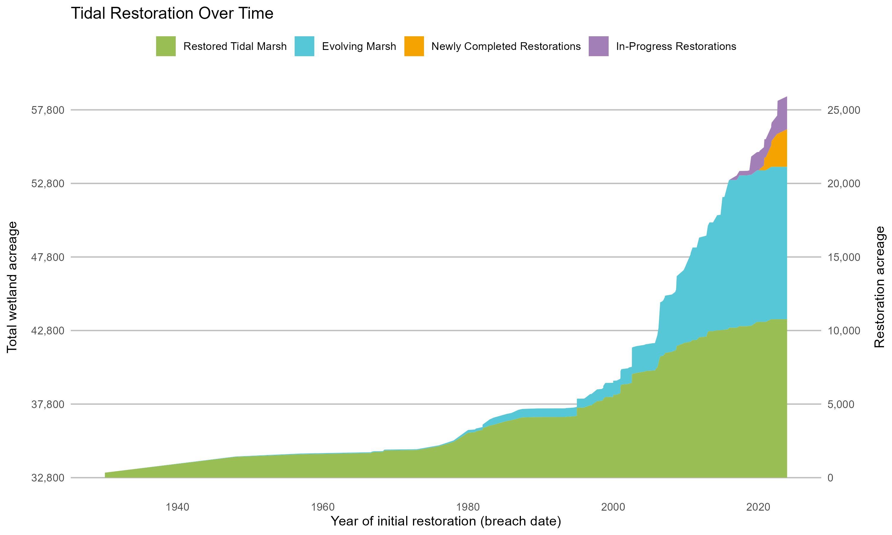
The Wetlands Regional Monitoring Program updates acreage, highlighting restoration efforts.
The San Francisco Estuary Wetlands Regional Monitoring Program (WRMP), co-managed by SFEI and San Francisco Estuary Partnership, just released several new products showcasing the most recent tidal wetland extent numbers, updated maps of restoration sites over time, and a report aligning regional indicators for tidal wetland ecological condition. The WRMP delivers coordinated regional monitoring of the San Francisco Estuary’s wetlands to inform science-based decision-making for wetland restoration and adaptive management and increase the cost-effectiveness of permit-driven monitoring associated with wetland restoration projects. Learn how these new products advance our understanding of tidal wetland monitoring in the Estuary.
The recently established Wetlands Regional Monitoring Program (WRMP) is leading regular mapping of bayland habitats as part of its regional-scale monitoring aimed at increasing the impact, cost-effectiveness, utility, and application of permit-driven monitoring to inform science-based decision-making. Such mapping is crucial for understanding how tidal wetlands change over time and tracking and informing management actions. The recently released Baylands Habitat Map (BHM) 2020 used cutting-edge automated mapping techniques paired with a standardized habitat classification scheme to map wetlands in the Bay. BHM 2020 provides a critical foundation for calculating tidal wetland extent and wetland restoration progress. It reveals that San Francisco Bay’s tidal wetlands cover 53,700 acres as of 2020, marking an increase from previous estimates. The recently released report, Tracking Tidal Wetland Extent in San Francisco Bay: A 2020 mapping update, details these mapping efforts and our progress towards having 100,000 acres of tidal marsh in the Bay.
The WRMP has also developed the new versioned and citable Project Tracker Tidal Wetland Restoration Map (PTTWRM), a product made from Project Tracker.
Project Tracker is the most complete database of California restoration projects and a valuable tool for planners and managers, yet several known issues limit Project Tracker’s ability to comprehensively track wetland restoration acreage. SFEI staff addressed this by systematically reviewing and updating all of the Estuary’s Project Tracker records. PTTWRM packages this information into a resource for the region’s restoration community that can be reviewed and updated annually, and cited to allow for more clarity on how restoration estimates are being calculated and used.
The WRMP has a foundational Science Framework that has a suite of indicators and metrics designed to address the Estuary’s tidal wetlands management questions. These indicator metrics can be quantified and tracked over time to monitor the changing ecological conditions of the Estuary’s tidal wetlands, and to inform science-based decision-making for wetland restoration and adaptive management. Several similar ongoing regional efforts across the entire Estuary – despite differences in geographic scope, focus, or definitions – align with the WRMP in ultimately asking, “How is the Estuary doing; how can we protect and improve ecological conditions and functions and human benefits; and are our protections and improvements working?” The WRMP’s Indicator Alignment report summarizes and coordinates the selection and use of specific indicators, metrics, or criteria across different programs and initiatives to create efficiency, consistency, and better decision-making.
The ideal outcomes of indicator alignment are:
- fewer, clearer messages communicating the health of the Estuary while maintaining the identity and branding of individual efforts, and
- a more efficient use of resources.







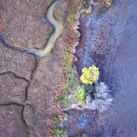
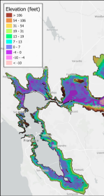
First High-Resolution Elevation Map for Whole Bay-Delta
A new mapping effort has produced the first high-resolution elevation data across the entire San Francisco Bay-Delta Estuary. The sub-ten-centimeter vertical accuracy makes the data key tool to planning for flood risk, sea level rise, and habitat restoration.

Project Tracker Tidal Wetland Restoration Map
EcoAtlas Project Tracker is a statewide online data entry tool used across the Bay region to track information on wetland restoration, mitigation, and habitat conservation projects. It provides standardized information on the activities involved in restoring habitats. Project Tracker is the most complete database of California wetland restoration projects and a valuable tool for planners and managers.

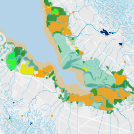
New Baylands Habitat Map Tracks Restoration Progress
The Baylands Habitat Map 2020 is the first complete map of San Francisco Bay wetland and aquatic habitats produced since 2009. It provides updated maps of tidal habitats and diked baylands, expanding our understanding of the full impact of recent habitat change and restoration.