New datasets, metric summaries, interactive options, and fieldwork!
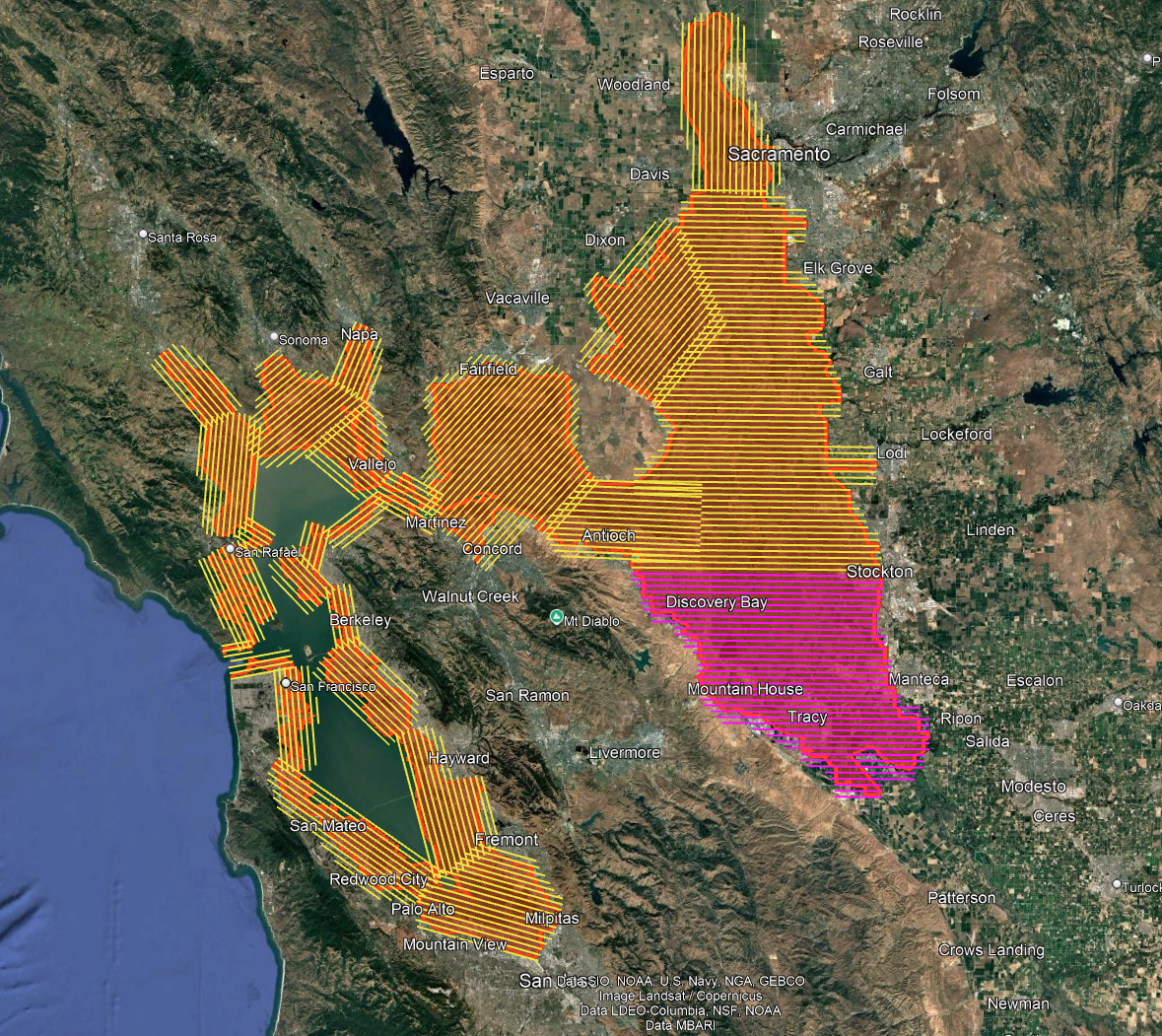
This summer marks a major milestone in regional data collection as the WRMP and several key agencies launch the first Estuary-wide low tide LiDAR (Light Detection and Ranging) elevation data collection including the San Francisco Bay and Delta! With funding and collaboration from the San Francisco Bay Restoration Authority (SFBRA), the Delta Stewardship Council, Department of Water Resources, South Bay Salt Pond Restoration Project, and Valley Water, this data will enhance our understanding of our wetlands, shorelines, and restoration progress while also serving as a vital tool for shoreline planners, municipalities, and others. Learn more about this at the WRMP LiDAR blog post.
WRMP EcoAtlas Landscape Profile Tool
The new SF Estuary Wetlands Profile (Profile) tool will support public policies and programs that protect tidal wetland resources and track regional progress towards meeting restoration targets. The Profile currently includes metrics of tidal wetland extent, restoration status, unvegetated to vegetated ratio, and elevation capital, with more metrics coming soon. The Profile is interactive and allows metrics to be viewed at different scales. Learn more about it in this recently released memorandum.
The SFBRA maintains a dashboard that displays metrics tracking their crucial contribution to tidal wetland restoration in the San Francisco Bay. The WRMP has developed updates to this dashboard, including adding metrics relating to tracking wetland extent over time and how the SFBRA projects contribute to wetland connectivity.
Restoration Map Annual Update Plan
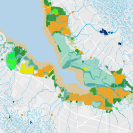
The Project Tracker Tidal Wetland Restoration Map (Restoration Map) is a high-quality, annually updated static map of tidal wetland restoration projects in San Francisco Bay. It provides a regionally vetted, citable dataset with accurately mapped site boundaries and detailed restoration project attributes, including breach dates, tidal regime status, and other implementation details. Annual updates will follow a standardized, transparent procedure (outlined in our recently released Update Plan) that incorporates user feedback, project proponent input, and technical review.
Notes from the Field
The WRMP field teams have been hard at work all summer, collecting data on vegetation, water quality, sediment, elevation, and fish. Be sure to sign up for the WRMP newsletter, or read past issues, to get detailed updates on field data collection efforts.















Project Tracker Tidal Wetland Restoration Map
EcoAtlas Project Tracker is a statewide online data entry tool used across the Bay region to track information on wetland restoration, mitigation, and habitat conservation projects. It provides standardized information on the activities involved in restoring habitats. Project Tracker is the most complete database of California wetland restoration projects and a valuable tool for planners and managers.

New Baylands Habitat Map Tracks Restoration Progress
The Baylands Habitat Map 2020 is the first complete map of San Francisco Bay wetland and aquatic habitats produced since 2009. It provides updated maps of tidal habitats and diked baylands, expanding our understanding of the full impact of recent habitat change and restoration.