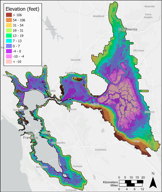
Bay and Delta’s most detailed elevation map ever reveals flood risks and more.
A new mapping effort has produced the first high-resolution elevation data across the entire San Francisco Bay-Delta Estuary. The sub-ten-centimeter vertical accuracy makes the data key tool to planning for flood risk, sea level rise, and habitat restoration.
Elevation data across the Bay-Delta was historically collected through separate, project-by-project efforts. The result was uneven measurements, timing, and processing approaches. Without shared planning or pooled resources, coverage was fragmented, costs were higher for individual programs, and datasets were less consistent and useful across jurisdictions.
That fragmentation has real consequences. Without accurate elevation data, communities across the Estuary make consequential decisions, like where to live, whether to evacuate, and how to plan for the future, based on a picture of the landscape that no longer exists.
The new project used laser pulses from aircraft (called lidar) to scan an area larger than the state of Delaware. The high-resolution, region-wide elevation data was collected at low tide to increase coverage. It offers an unprecedented unified view of the landscape, landforms, and habitat conditions. Fine-scale features captured across the estuary make this dataset a shared foundation for researchers, engineers, and land managers working to reduce flood risk, improve habitat restoration, monitor subsidence (land sinking), and more.
The mapping was a collaboration between the California Department of Water Resources, the Delta Stewardship Council, and the San Francisco Estuary Wetlands Regional Monitoring Program (WRMP), which is co-managed by SFEI and the San Francisco Estuary Partnership.
Once available, the WRMP will post links to the data and information about a forthcoming webinar. Additional information on data access, geographical coverage, data quality specifications, available products, and the timeline are also available on the WRMP’s webpage.
In the meantime, sign up to be notified about the webinar and when the dataset is available.






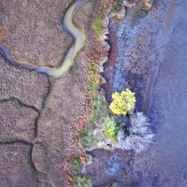
Baylands Habitat Map wins Outstanding Environmental Project Award at State of the Estuary!
Baylands Habitat Map receives Outstanding Environmental Project Award from the Friends of the San Francisco Estuary at this year’s State of the Estuary Conference! Baylands Habitat Map receives Outstanding Environmental Project Award from the Friends of the San Francisco Estuary at this year’s State of the Estuary Conference!
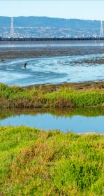
Tracking Tidal Wetland Extent in San Francisco Bay
The Wetlands Regional Monitoring Program updates acreage, highlighting restoration efforts. The WRMP delivers coordinated regional monitoring of the San Francisco Estuary’s wetlands to inform science-based decision-making for wetland restoration and adaptive management and increase the cost-effectiveness of permit-driven monitoring associated with wetland restoration projects. Learn how these new products advance our understanding of tidal wetland monitoring in the Estuary.