New wetland mapping for the Russian River and parts of SF Bay
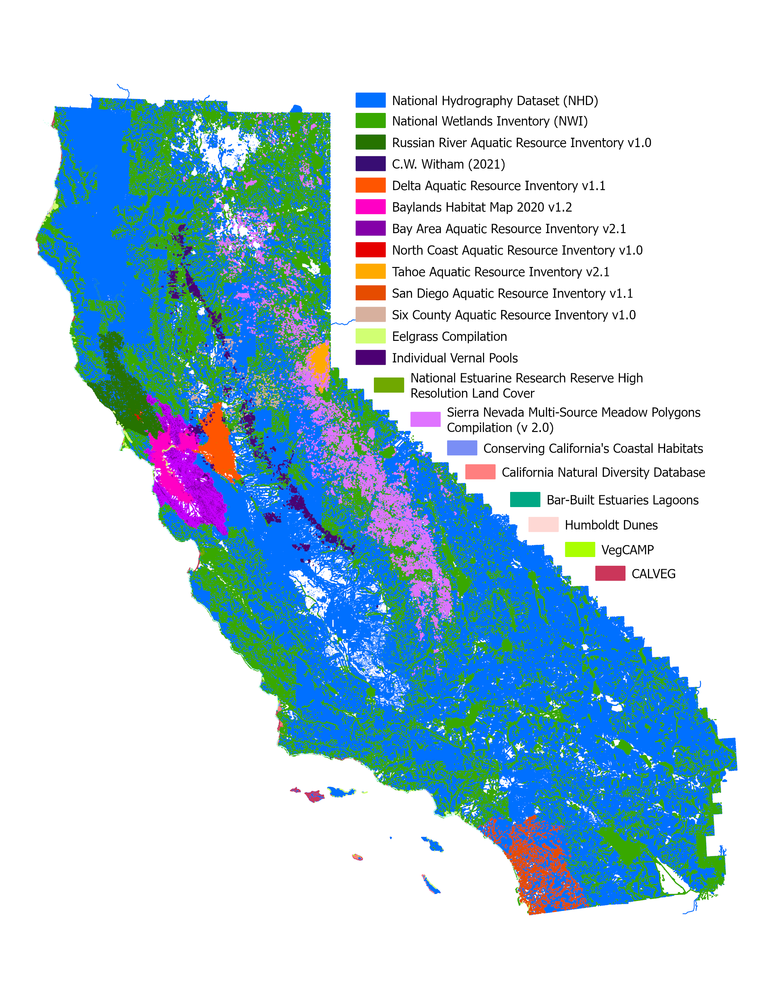
Scientists and planners can now reference almost 19,000 acres of newly mapped wetlands in the latest release of the California Aquatic Resource Inventory (CARI) v3.3. CARI is California's primary statewide map for aquatic resources. This Geographic Information System (GIS) dataset standardizes information on wetlands, streams, and riparian areas from various local and regional sources into one critical map resource for scientists, planners, and policymakers.
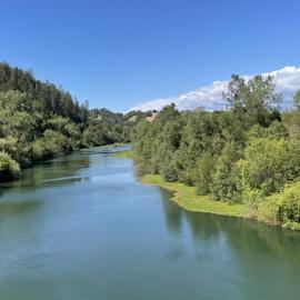
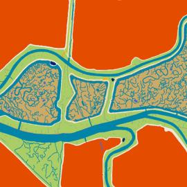
This latest update integrates two of SFEI’s recent regional semi-automated mapping efforts into the CARI dataset. A major addition is the newly released Russian River Aquatic Resource Inventory (RRARI) v1.0, which spans the entire Russian River watershed and Sonoma County. This dataset provides a more precise look at the area's complex hydrography with greater detail and accuracy than previous mapping in the region. CARI v3.3 also includes an updated version of the Baylands Habitat Map 2020, which refines representation of aquatic habitat features across San Francisco Bay and adds Winter and Browns Islands.
You can access the updated dataset and explore these new features through the EcoAtlas interactive map or by visiting the CARI project page.





Baylands Habitat Map wins Outstanding Environmental Project Award at State of the Estuary!
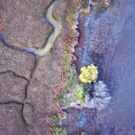
Baylands Habitat Map receives Outstanding Environmental Project Award from the Friends of the San Francisco Estuary at this year’s State of the Estuary Conference! Baylands Habitat Map receives Outstanding Environmental Project Award from the Friends of the San Francisco Estuary at this year’s State of the Estuary Conference!