Mapping at the Speed of Change
Why Automated Wetland Mapping?
Wetland habitats safeguard our shorelines and communities, improve water quality, store carbon, and support biodiversity. But if you don’t know a habitat exists, you can’t protect it. Wetlands are constantly changing, and traditional mapping methods—where people trace wetland features by hand—are slow, costly, inconsistent, and difficult to repeat.
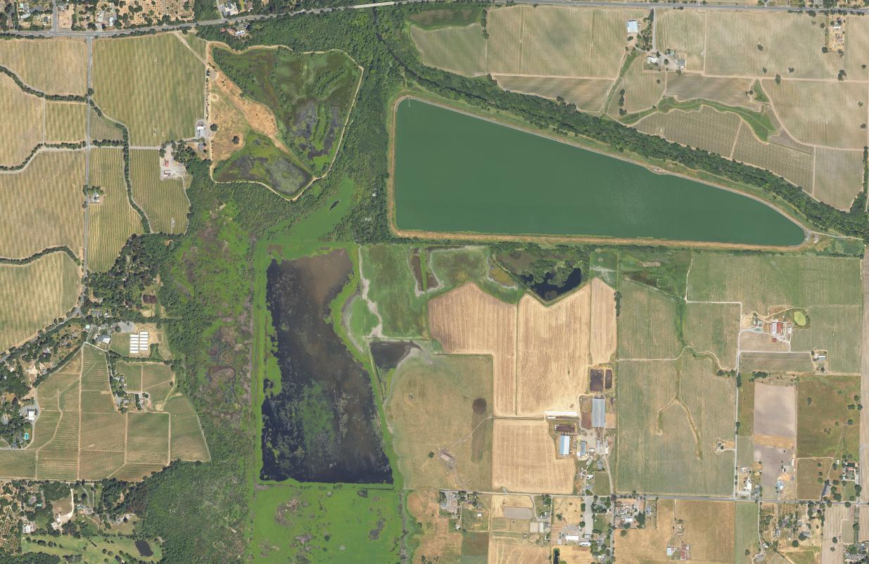
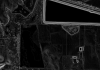
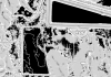
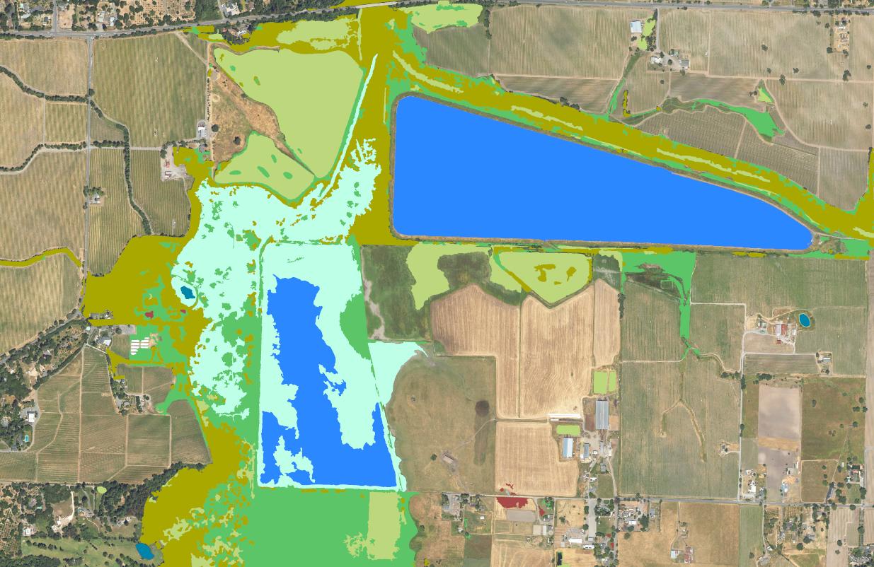
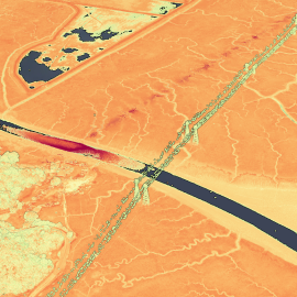
To accelerate this process, San Francisco Estuary Institute (SFEI) has developed advanced automated methods to map wetlands more quickly, cost-effectively, and consistently. Automated wetland mapping leverages advanced geospatial techniques, like image segmentation and machine learning. These are paired with improvements in available data to classify landscapes and wetland habitats. Automated mapping reduces human error and standardizes methods to track wetland changes consistently across large areas.
Why Do We Need Accurate Wetland Maps?
Wetland basemaps are standardized maps that show the distribution, abundance, and diversity of aquatic and riparian habitats. Up-to-date wetland basemaps are essential for detecting wetland loss and tracking restoration gains. According to the National Wetlands Inventory Status Mapper, much of the U.S. wetlands map data is over 40 years old. The time- and labor-intensive process of manually mapping wetlands have been too costly to repeat every few years, leading to outdated datasets. Without accurate basemaps, we can’t track progress toward long-term environmental goals.
Transforming Wetland Mapping
- SFEI’s Environmental Informatics team pioneers cutting-edge workflows to map wetlands with greater speed and accuracy than ever before. The resulting maps equip planners with the information necessary to make the best decisions and give communities timely, trustworthy data to protect and manage vital resources.
- Advanced automated workflows can map hundreds of types of wetlands. We utilize high-accuracy elevation data and imagery, image segmentation, custom algorithms, machine learning, and human expertise.
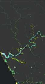
- Recent wetlands datasets created high-accuracy, high-resolution maps that can detect change over time. Regional wetland monitoring programs rely on these maps to inform decision-making.
Building a Statewide Picture
Each of these efforts contributes to CARI, the California Aquatic Resource Inventory, a statewide public dataset that compiles the most up-to-date map of wetlands and aquatic habitats, in addition to federal datasets. By integrating regional projects into CARI, we help establish a consistent, science-based understanding of where wetlands are located and how they are changing across California.
Looking Ahead
We are especially excited about the ability to map change over time. The Baylands Habitat Map is currently being remapped to capture 2025 conditions, which will be compared to the BHM 2020 map. This will allow us to measure how tidal wetlands have shifted in just five years. This is a critical step for understanding the effects of sea level rise, restoration efforts, and land use.
Going forward, we aim to expand these approaches to new regions across California and return to previously mapped areas. With faster, more reliable mapping, we can help scientists, managers, and communities protect and restore wetlands—the habitats that safeguard our shorelines and communities, improve water quality, store carbon, and support biodiversity.
Interested in collaborating with SFEI on automated wetlands mapping for your region?
Contact [email protected] to learn more!