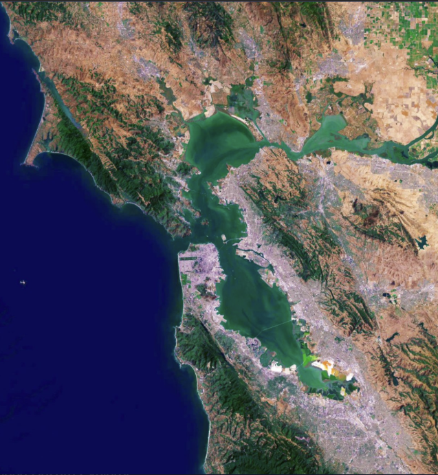
Adaptation planning in action through leadership, technology, and science.
Learn more about the San Francisco Bay Conservation and Development Commission's new tool to serve the best available science and information to a receptive community of municipal planners.
The Regional Shoreline Adaptation Plan Atlas (RSAP Atlas) aims to serve as a comprehensive resource for understanding and addressing the impacts of sea level rise along shorelines. It provides tools and information to facilitate planning and adaptation efforts for communities and ecosystems in coastal areas.
The San Francisco Bay Conservation and Development Commission (BCDC) led the way with the development of the RSAP Guidelines. But a picture is worth a thousand words, so the BCDC team enlisted the aid of SFEI to develop the RSAP Atlas, which helps to organize and shape the complex library of data relevant to shoreline adaptation planning.
With vital support from Regan Murray and Rachele Lang, SFEI’s technologists and scientists collaborated with a capable team at BCDC to scope, envision, and develop this new atlas. The tool is designed to serve the needs of planners seeking to develop innovative, often nature-based solutions informed by the best available science. The Atlas—with its wealth of relevant mapping layers ranging from details regarding sensitive habitats to critical infrastructure to be protected from sea-level rise—offers a “guided tour” through the many datasets.
Produced with major contributions from a technical advisory committee, the RSAP Atlas is currently in beta testing. It promises to evolve and adapt with additional data and feedback from the regional planning community.









Other Individual Contributors

EcoAtlas Essentials Webinar Showcases Practical Tools for Ecological Planning
On October 1, 2025, the San Francisco Estuary Geospatial Workgroup (SFEGWG) hosted EcoAtlas Essentials: Practical Tools for Effective Ecological Planning, a webinar designed to guide participants in exploring how EcoAtlas supports data-driven ecological planning across California.