Home
  • What We Do
    • Clean Water
      • PFAS, Forever Chemicals
      • Microplastics
      • Emerging Contaminants
      • Contaminated Fish
      • Nutrient Management Strategy
      • Bay Regional Monitoring Program
    • Environmental Informatics
      • Geographic Information Systems (GIS)
      • Data Services
      • Technology Architecture
      • Habitat Assessment & Monitoring Technology
      • Software Engineering & Web Development
    • Resilient Landscapes
      • Baylands & Shoreline Resilience
      • Delta Landscapes
      • Stream & Riparian Health
      • Urban Nature
      • Historical Ecology
      • Ecosystem Carbon
      • Sediment Science
      • Habitat Assessment & Monitoring
    • Science Communications
      • Using Story to Reveal Scientific Findings
      • Visualizing Data to Support Decision-Making
      • Providing Planning & Design Guidance
      • Collaborative Design & Engagement
  • Projects & Resources
    • Projects
    • Data Center & Decision Support Tools
    • Publications & Reports
  • About
    • About SFEI
    • Aquatic Science Center
    • Our Approach
    • Our Team
    • Board of Directors
    • Partners
    • Giving to SFEI
    • News
    • Events
    • Employment Opportunities
    • Request for Proposals
    • Newsletters
  • Donate
  • .
Wetlands Assessment
  1. Home

Latest News

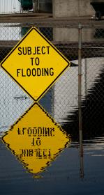
Subject to flooding yellow road sign reflected in floodwaters that reach the sign's bottom. Photo by Alex Braud

Fri, Oct 16 2026

FAQs: Preparing SFEI Science for a Historic El Niño
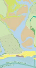
Map of tidal habitats.

Fri, Mar 6 2026

California Aquatic Resource Inventory v3.3 has been published!
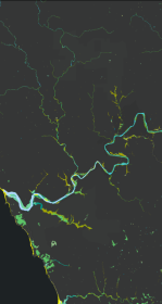
Russian River watershed map

Thu, Jan 15 2026

New Basemap of Surface Waters and Riparian Areas in the Russian River Watershed

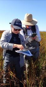
Two scientists surveying a wetland

Wed, Jan 14 2026

A Milestone! 10,000 Wetland Condition Assessments Publicly Shared on EcoAtlas

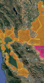
Color coded map of Bay Area with LiDAR survey

Wed, Oct 1 2025

WRMP Releases Multiple Tools for Region-wide Planning
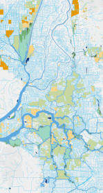
Delta habitat map

Fri, Aug 8 2025

Helping California Track and Protect Its Wetlands


SEE MORE NEWS

Recent Publications

San Diego 2024 CRAM Report cover image

2024 San Diego Regional Board Mitigation and SEP Project Assessments

Read More

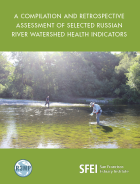
R3MP Status & Trends Report Cover Image

A Compilation and Retrospective Assessment of Selected Russian River Watershed Health Indicators

Read More

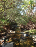
Photograph of stream in San Diego

2024 San Diego Regional Board Mitigation and SEP Project Assessments

The San Diego Regional Water Quality Control Board is developing a Wetlands Regional Monitoring Program (WRMP) to evaluate the long-term ecological effectiveness of…

Read More


SEE MORE PUBLICATIONS

ASSOCIATED STAFF

profile picture
Emma Sevier
profile picture
Cristina Grosso
profile picture
Melissa Foley
profile picture
Sarah Lowe
profile picture
Alison Whipple
profile picture
Gemma Shusterman
Profile pic
Scott Dusterhoff
profile picture
Karen Verpeet
profile picture
Michael Weaver
Lisa Beers
Lisa Beers
amyy profile
Amy Yoger
profile picture
April Robinson
Kyle
Kyle Stark
profile picture
Sarah Pearce
Default profile photo
Todd Featherston
Profile picture
Tony Hale
profile picture
David Peterson
profile picture
Aviva Rossi


VIEW OUR TEAM


SFEI Logo in white

4911 Central Ave
Richmond, CA 94804
Phone: 510.746.7334
[email protected] 

EIN# 94-2951373


Facebook logo

LinkedIn logo

IG logo

Bluesky logo

Your Support

Newsletter Signup

SFEI's Impact Report

Ways to Give

©2025 San Francisco Estuary Institute
Financial Reporting
Privacy Policy
Terms of Use