Innovative technology driving science solutions
New technologies and the guidance for how to use them are essential for planners and managers seeking to navigate the impacts of rapidly changing conditions to the quality of our air, water, and land. Our Environmental Informatics program stands at the juncture of science and technology, helping to operationalize science in service of key decisions to serve natural resources.
Trusted by partners in California and beyond, the team leverages its many technological disciplines to lend credibility, clarity, and persuasiveness to scientific concepts and data. They translate information into dynamic and compelling visuals to guide key environmental decisions.
Our Focus Areas
Geographic Information Systems (GIS)
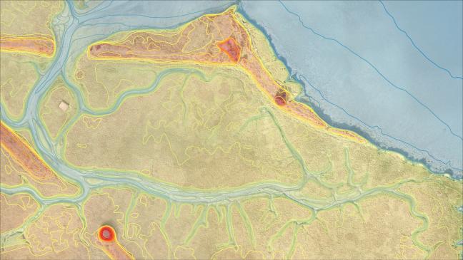
Geographic Information Systems (GIS) is a powerful dynamic toolset that allows complex spatial analyses to be applied to the landscape. SFEI is known for its distinctive and influential map-based products that support better decision-making and promote smart solutions for environmental problems. The GIS team supports SFEI’s mission through data production, mapping expertise, spatial analysis, and application development.
Read More

Data Services
The Data Services team provides accurate data, which forms the basis for our overall credibility. They manage, process, clean, and analyze data to provide the information needed by decision makers. In addition, they steward data and serve as the Regional Data Center (RDC) for CEDEN’s San Francisco Bay-Delta and northern montane regions. To keep us all working efficiently, the team researches and pilots advanced data collection techniques.
Read More
Software Engineering & Web Development
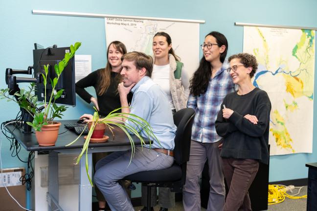
The Software Engineering team provides code-based solutions for SFEI’s projects. These tools synthesize, analyze, and visualize data to inform decision-making regarding California’s natural resources. The team has developed enduring products, ranging from EcoAtlas, a tool with an over 20-year history, to the more recent BCDC Bay Shoreline Flood Explorer. Whatever the product, the team values efficiency, modularity, and reusability and engages with new technologies, solutions, and collaborations.
Read More

Technology Architecture
Our Technology Architecture team forms the backbone of technology productivity at SFEI. The team supports various hardware and software platforms to ensure staff and partners have the tools they need. Across both local and cloud-hosted servers, the team hosts websites, tools, and high-performance computing systems to drive scientific research objectives and products. They also provide communications to ensure successful adoption of new systems and to keep partners apprised of changes to the technology.
Read More
Habitat Assessment & Monitoring Technology
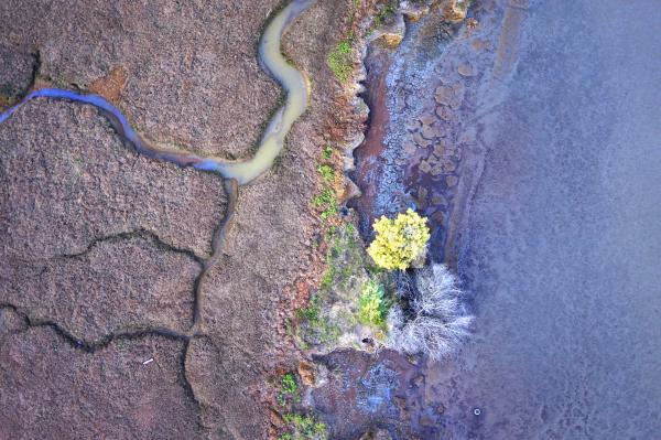
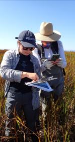
The Environmental Informatics program adapts and adopts new technologies to gain resource monitoring insights. Whether the team is flying UAS (drones) over creeks, rivers, and marshes to identify trash or using a mobile app to count and categorize tobacco product waste, our technologists are always looking for better ways to gather data to inform decision making.
Read More
Operationalizing Science for Decision-making
The Environmental Informatics program has evolved with changing needs to become a sophisticated interdisciplinary team of technologists. As SFEI engages with different organizations, the EI team meets unmet technical needs with innovative solutions.
Organizations of all kinds rely on SFEI’s clear and rigorously researched maps to establish a trusted baseline for wetland restoration in the Bay. They also depend on SFEI’s openness and transparency regarding its distribution of water quality data through the Contaminant Data Display & Download Tool. Aside from open data, SFEI also champions open-source software and manages a code repository for public access. This software yields tools such as EcoAtlas, which is known nationally for its focus on tracking habitat restoration, conservation, and condition.
The Program stands at the juncture of science and technology, helping to operationalize science in service of key decisions to serve natural resources.
Latest News
Thu, Apr 9 2026
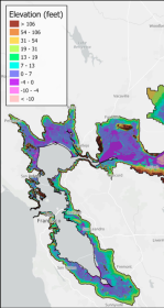
First High-Resolution Elevation Map for Whole Bay-Delta

Fri, Mar 6 2026
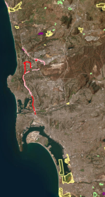
California Aquatic Resource Inventory v3.3 has been published!

Mon, Feb 9 2026
Measuring Tobacco Product Waste Via a New Mobile App
Featured Projects
Recent Publications
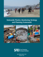
Statewide Plastics Monitoring Strategy and Planning Framework
Plastic pollution is a pervasive threat to California’s aquatic environments, with impacts spanning ecological health, human well-being, and the integrity of natural resources. From visible macroplastics (trash) littering…
ASSOCIATED STAFF