Browse Our Stories
Thu, Jan 15 2026
New Basemap of Surface Waters and Riparian Areas in the Russian River Watershed
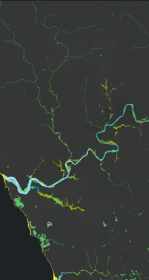
In collaboration with regional partners, SFEI is developing a comprehensive standardized basemap to support the Russian River Regional Monitoring Program and regional needs. The Russian River Aquatic Resources Inventory uses automated, repeatable methods to deliver up‑to‑date mapping of wetland habitats.
Tue, Oct 28 - Wed, Oct 29 2025
Baylands Habitat Map wins Outstanding Environmental Project Award at State of the Estuary!
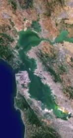
Baylands Habitat Map receives Outstanding Environmental Project Award from the Friends of the San Francisco Estuary at this year’s State of the Estuary Conference! Baylands Habitat Map receives Outstanding Environmental Project Award from the Friends of the San Francisco Estuary at this year’s State of the Estuary Conference!
Wed, Oct 1 2025
WRMP Releases Multiple Tools for Region-wide Planning
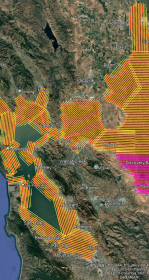
This summer marks a major milestone in regional data collection as the Wetlands Regional Monitoring Program and several key agencies launch the first Estuary-wide low tide LiDAR (Light Detection and Ranging) elevation collection. The data will enhance our understanding of our wetlands, shorelines, and restoration progress.
Fri, Mar 8 2024
Vision from the Skies: Using UAS Surveys to Monitor a Key Restoration Project
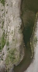
At the McCosker Creek Restoration site, 3,000 linear feet of creek channel that previously had been flowing through underground culverts since the 1950s was daylighted and reconstructed. In addition, invasive and non native plants were removed and replaced with over 5,000 native plants.