Lidar Resources
Dates

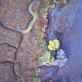
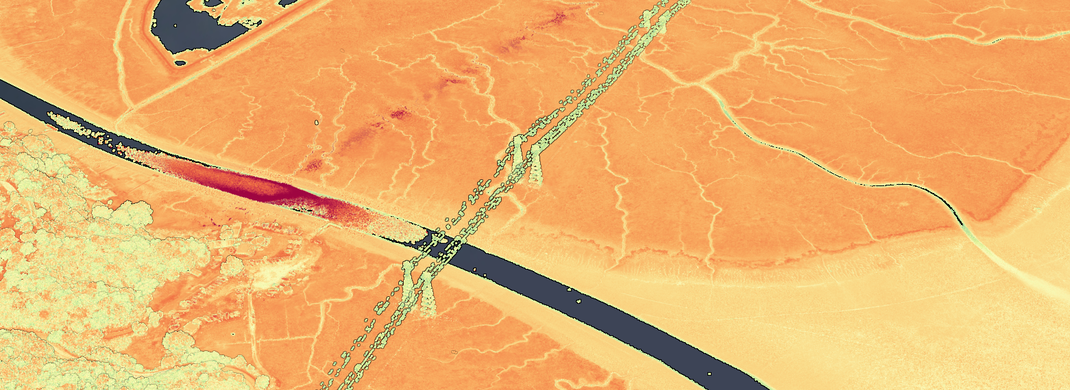
SFEI uses lidar data for a wide range of projects. In particular the SFEI GIS team leverages lidar for wetland automated mapping, riparian functional zone modeling, and other environmental analyses.
SFEI Lidar Resources:
- San Francisco Estuary-Wide Lidar Collection 2025 - Factsheet
- Collaborative LiDAR for Coastal Management Factsheet
Associated Staff





Programs & Focus Areas
Related News
Tracking Coastal Habitat Change Over Time: Considerations for a Statewide Mapping Program
Managing California’s coastal habitats and tracking progress requires up-to-date and comprehensive mapping. So far, that mapping has only happened periodically, and often in a piecemeal manner. We summarized options for routinely mapping coastal wetlands, beaches and dunes, eelgrass, and rocky intertidal coastal habitats statewide in a new report for California’s Ocean Protection Council.