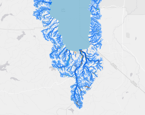
TARI (Tahoe Aquatic Resource Inventory) was established to meet regional needs for wetlands and stream monitoring. One primary objective was to apply standardized monitoring tools to ensure data comparability and consistent, documented quality. These data help agencies and organizations assess the extent and condition of wetlands in local watersheds and identify and prioritize opportunities for ecological restoration and enhancement in a watershed context.
This is the Version 2.1 release of the TARI GIS dataset, published on February 2016. It includes additional mapping in the Tahoe basin initially conducted by semi-automated methods by Spatial Informatics Group (SIG). This mapping had additional improvements made by SFEI, in order to bring it more in line with published TARI mapping standards.
TARI data is part of the Wetland and Riparian Area Monitoring Plan (WRAMP), which consists of a 1-2-3 level monitoring framework. This allows assessment of wetlands at two scales: landscape and highly localized. TARI is Level 1 of this framework, developed for landscape level analyses of wetland extent, distribution and abundance. Geographic information systems (GIS) and remote sensing are used to map and create inventories of existing wetlands (both modern and historical). These inventories quantify the extent of wetland habitats and projects, and are used for landscape profiles of wetlands at the state, regional, watershed, and local scales.
Level 2 entails rapid field assessment of wetland health or ecological condition. In California the California Rapid Assessment Method (CRAM) is a diagnostic tool that two or more trained practitioners can use to assess the condition of a wetland or riparian site in one half day or less using visual indicators in the field.
Level 3 monitoring entails intensive sampling of ecological function or specific aspects of wetland condition. These assessments are intensive quantitative measurements of condition, stress, or cause-and-effect relationships. A Level 3 assessment is an in-depth study of a particular attribute of wetland health such as water quality, fish habitat, bird populations, vegetative cover and diversity, or physical processes. Level 3 monitoring can describe the performance of specific ecological functions at the site scale.
Information on the WRAMP is available at http://www.mywaterquality.ca.gov/eco_health/wetlands/condition/wramp_to…
More information on TARI can be found online at: Tahoe WRAMP Demonstration: Mapping Standards, http://www.sfei.org/projects/tahoe-wramp-demonstration-mapping-standards