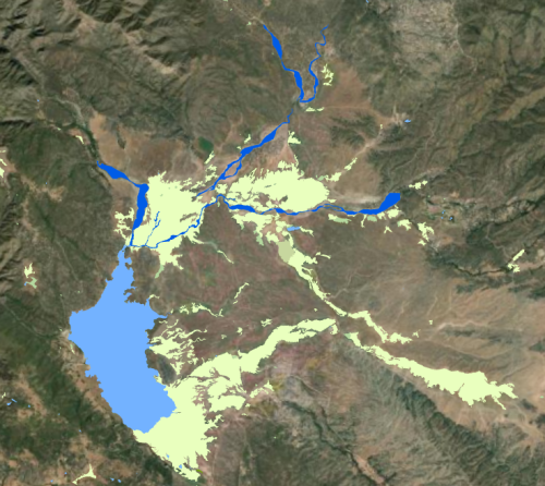
San Diego Aquatic Resource Inventory (SDARI) is a detailed base map of the San Diego Regional Water Board aquatic features. SDARI was developed using a Geographic Information System (GIS) and semi-automated object based image analysis (OBIA) leveraging both machine learning and rule based classification models. The mapping models use high resolution four band imagery, LiDAR, and a suite of ancillary data sources to consistently map aquatic resources throughout the San Diego region of interest. The GIS dataset was reviewed by regional wetland scientists and stakeholders to improve it's accuracy with additional manual corrections made to further refine the data. This dataset is one of the few first automated mapping efforts to map aquatic resources and support higher rate of remapping and change detection. Learn more about SDARI mapping procedures and standards in the SDARI Standards and Methods document.
SDARI has been integrated into the California Aquatic Resources Inventory (CARI), which is publicly accessible on EcoAtlas. SDARI may be periodically updated through a map stewardship effort. Local wetland scientists and managers can suggest updates to improve the accuracy and detail of the GIS dataset using the CARI Editor Tool. CARI is the statewide standardized dataset intended to support regional watershed restoration planning and tracking,
San Francisco Estuary Institute (SFEI). 2024. San Diego Aquatic Resource Inventory (SDARI), Version 1.1 GIS Data. Accessed [date retrieved]. https://www.sfei.org/data/san-diego-aquatic-resource-inventory-sdari-v1….
Copyright 2024 San Francisco Estuary Institute.
SDARI is free data: you can redistribute it and/or modify it under the terms of the GNU General Public License as published by the Free Software Foundation, either version 3 of the License, or (at your option) any later version.
SDARI is distributed in the hope that it will be useful, but WITHOUT ANY WARRANTY; without even the implied warranty of MERCHANTABILITY or FITNESS FOR A PARTICULAR PURPOSE. See the GNU General Public License for more details.
More information about GNU General Public License is available at http://www.gnu.org/licenses/.SFEI data are available without restriction upon use with the following caveats. Prudent usage, knowledge of the data quality, and professional courtesy should all be considered in obtaining and using SFEI data. As this dataset is NOT a survey document, neither use it as such nor use it beyond the limits of the source scale. Please read and fully comprehend all available metadata prior to data use. SFEI requests that the use of these data in any map, publication, or report should include citation of the data source(s) used and give proper attribution and credit to the originators of the data. Questions about SFEI data may be directed to the GIS Manager, at 510-746-7334.