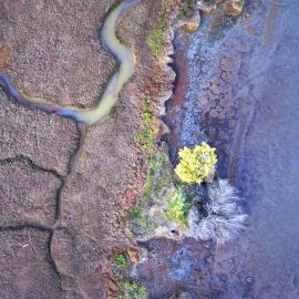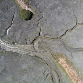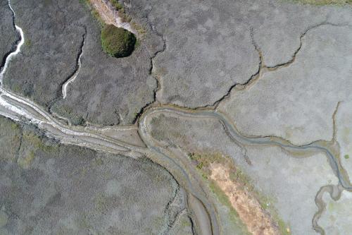
The Project Tracker Tidal Wetland Restoration Map (Restoration Map) dataset provides spatial boundaries and key attributes of restored tidal wetlands in the San Francisco Bay.
The San Francisco Estuary Wetlands Regional Monitoring Program (wrmp.org), in collaboration with the San Francisco Estuary Institute, has developed new data layers for tidal wetland restoration. These layers were created by systematically reviewing and refining records from EcoAtlas Project Tracker. This stand-alone dataset compiles tidal wetland restoration information into a standardized, citable resource for the region’s restoration community that can be reviewed and updated annually. Each data package includes an Excel file, geodatabase, metadata, and change log.
This dataset includes fully tidal, restored wetland sites. Completed restoration is defined as a major change in site habitat and tidal influence, typically achieved through breaching of levees or berms (intentionally or unintentionally), construction of tidal channels, or cessation of dredging. Projects where groundwork had begun were considered In progress. Projects in the planning stages were not included in these data layers.
For more details, refer to the Tracking Tidal Wetland Extent in San Francisco Bay: A 2020 Mapping Update. The corresponding spatial dataset for the 2020 Report is here, and the Project Tracker Tidal Wetland Restoration Map 2020 Data Files v1.1 (published April 2025) can be found below.
Future Updates
Each year, a new Restoration Map layer will be developed to capture up-to-date information on restoration efforts in the San Francisco Bay and made accessible on this page. Updates will follow standardized, transparent procedures that incorporate user feedback, project proponent input, and technical review as outlined in the San Francisco Estuary Project Tracker Tidal Wetland Restoration Map Update Plan. For feedback, questions, or more information, contact [email protected].
Key Visualization
For a visualization of these data, showing restoration change over time, see Tidal Wetland Restoration Over Time (1980-current).
- Wetlands Regional Monitoring Program (WRMP). 2025. Project Tracker Tidal Wetland Restoration Map 2020, Version 1.1. Published April 2025. San Francisco Estuary Institute. https://www.sfei.org/pttwrm.
- Wetlands Regional Monitoring Program (WRMP). 2026. Project Tracker Tidal Wetland Restoration Map 2025, Version 1.0. Published April 2026. San Francisco Estuary Institute. https://www.sfei.org/pttwrm.
You can redistribute and/or modify the data under the terms of the GNU General Public License as published by the Free Software Foundation, either version 3 of the License, or (at your option) any later version. See the GNU General Public License for more details: http://www.gnu.org/licenses/.
The Project Tracker Tidal Wetland Restoration Map is distributed in the hope that it will be useful, but WITHOUT ANY WARRANTY; without even the implied warranty of MERCHANTABILITY or FITNESS FOR A PARTICULAR PURPOSE.
SFEI data are available without restriction upon use with the following caveats. Prudent usage, knowledge of the data quality, and professional courtesy should all be considered in obtaining and using SFEI data. As this dataset is NOT a survey document, neither use it as such nor use it beyond the limits of the source scale. Please read and fully comprehend all available metadata prior to data use. SFEI requests that the use of these data in any map, publication, or report should include citation of the data source(s) used and give proper attribution and credit to the originators of the data.