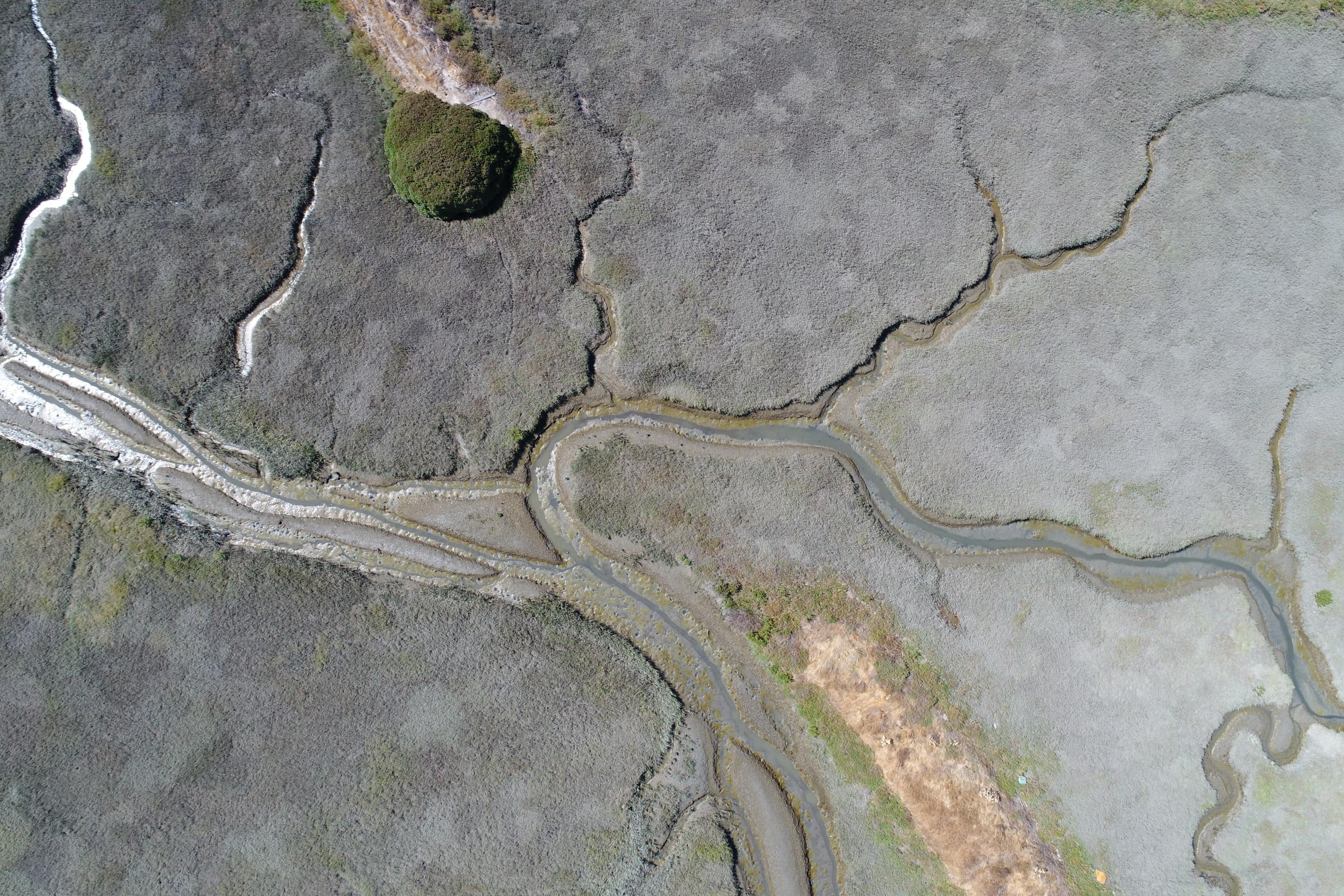
The tidal wetlands of San Francisco Bay provide numerous benefits to the region, including carbon sequestration, flood protection, providing habitat for native and endangered species, protecting shoreline communities and infrastructure from wave impact, improving water quality, and supporting a range of cultural and recreational uses. Our collective investment in conservation and restoration since the early 1990s has reversed the trend of wetland loss in the Bay, and has led to steady progress toward regional restoration goals.
The SF Estuary Wetlands Regional Monitoring Program (WRMP; wrmp.org) is overseeing regular mapping of baylands habitats as part of its regional-scale monitoring aimed at increasing the impact, utility, and application of permit-driven monitoring to inform science-based decision-making. Such mapping is crucial for understanding how tidal wetlands are changing over time and for tracking and informing management actions. The Baylands Habitat Map (BHM) uses cutting-edge automated mapping techniques paired with a standardized habitat classification scheme to map wetlands in the Bay. Integrating BHM mapping with restoration project data from the EcoAtlas Project Tracker enables the WRMP to quantify tidal wetland acreage and evaluate progress toward regional restoration goals.
Project Contact: [email protected]











The tidal wetlands of San Francisco Bay provide numerous benefits to the region, including carbon sequestration, flood protection, providing habitat for native and endangered species, protecting shoreline communities and infrastructure from wave impact, improving water quality, and supporting a r
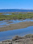
The WRMP held a webinar on April 16, 2025 to discuss how we answered the question: How much tidal wetland do we have in San Francisco Bay?