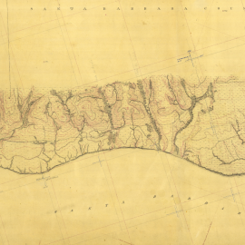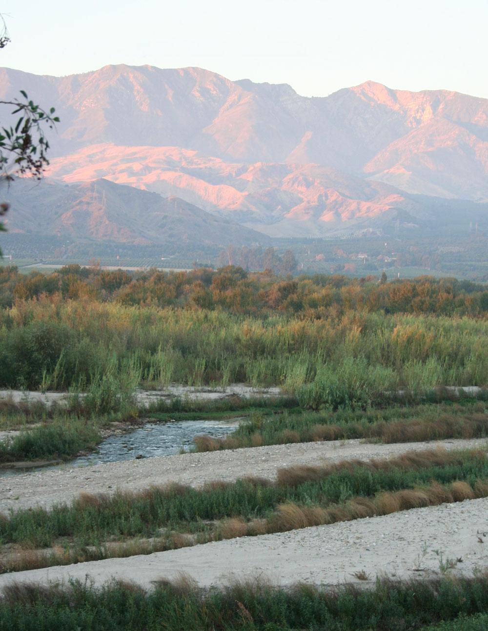
This project investigated the historical ecological patterns and hydrological dynamics of most of lowland Ventura County. Synthesizing over two centuries of local documents, the project report and accompanying GIS layers provide a detailed, comprehensive, well-documented illustration of landscape conditions in the county prior to substantial Euro-American modification.
The geographic scope of the study includes the lower Santa Clara River valley (downstream of Interstate 5), the lower Ventura River valley (downstream of Matilija Dam and excluding the Ojai Valley), the Oxnard Plain (including Calleguas Creek), and the Ventura County shoreline (from the mouth of the Ventura River to Mugu Lagoon). The study focuses on the documentation of the character and distribution of riverine and wetland habitats in the County.
This study was designed to significantly improve our understanding of the underlying physical processes that have shaped - and in many cases, continue to shape - the local landscape. In doing so, it provides scientists, managers, and residents in Ventura County with information designed to support and inspire ongoing management and restoration activities in the region.
Of related interest is a study entitled Historical Mapping of Southern California Coastal Wetlands, which uses high-resolution, color scans of 25 U.S. Coast (and Geodetic) Survey Topographic Maps (“t-sheets”) to conduct preliminary analysis and interpretation of historical wetlands along the Southern California coast.
Collaborators
Eric Stein Southern California Coastal Water Research Project (SCCWRP)
Shawna Dark California State University, Northridge (CSUN)
Bruce Orr and Pete Downs Stillwater Sciences
Travis Longcore University of Southern California (USC)
Gretchen Coffman San Francisco State University (SFSU)
John Cloud National Oceanic and Atmospheric Administration (NOAA)
Tom Dudley University of California, Santa Barbara (UCSB)
Funder
California Coastal Conservancy
Project Status
Completed August 2011
GIS Data
GIS data and metadata are available for download
Download the Report
See the link below...
Printed Report
Copies of the report (8.5"x11") can be obtained for $60, plus postage/tax
contact: [email protected] or 510-746-7355
For More Information Contact


Ventura County Historical Ecology Study Helping Save Santa Clara River Watershed
Peter Brand of the State Coastal Conservancy discusses the role of Historical Ecology and other research in bringing together stakeholders to help save the Santa Clara River.

RL journal publication on using historical ecology research to inform river restoration
SFEI scientists in the resilient landscapes program, in collaboration with Pete Downs of Plymouth University and Brice Orr of Stillwater Sciences, published an article on how historical ecology can infrom river restoration on the Santa Clara River.