Ventura Historical Ecology Study GIS Data
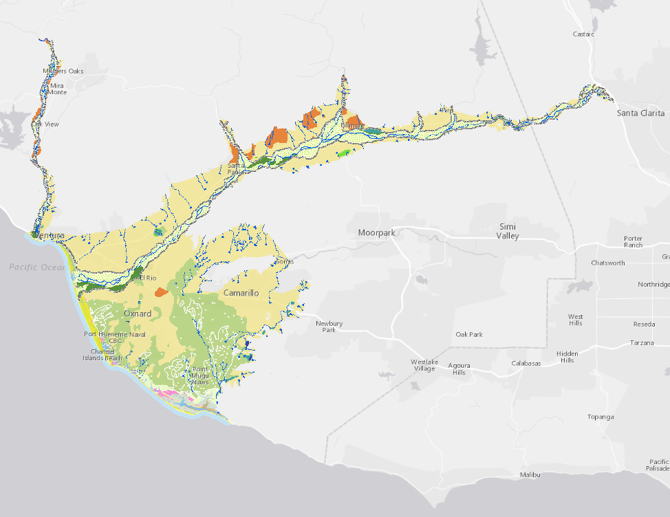
Geospatial data describing the historical conditions of the lower Santa Clara River, Ventura River, Oxnard Plain, and Ventura County Shoreline were developed to provide information for flood protection, watershed management, habitat restoration, local education, and research.
Creation Date:
Friday, August 19, 2011
Last Updated:
Friday, August 19, 2011
Type of Data:
GIS vector dataset
Programs and Focus Areas:
Environmental Informatics Program
Geographic Information Systems
Resilient Landscapes Program
Historical Ecology
Related Projects, News, and Events:
 Ventura County Historical Ecology Study (Project)
This project investigated the historical ecological patterns and hydrological dynamics of most of lowland Ventura County.