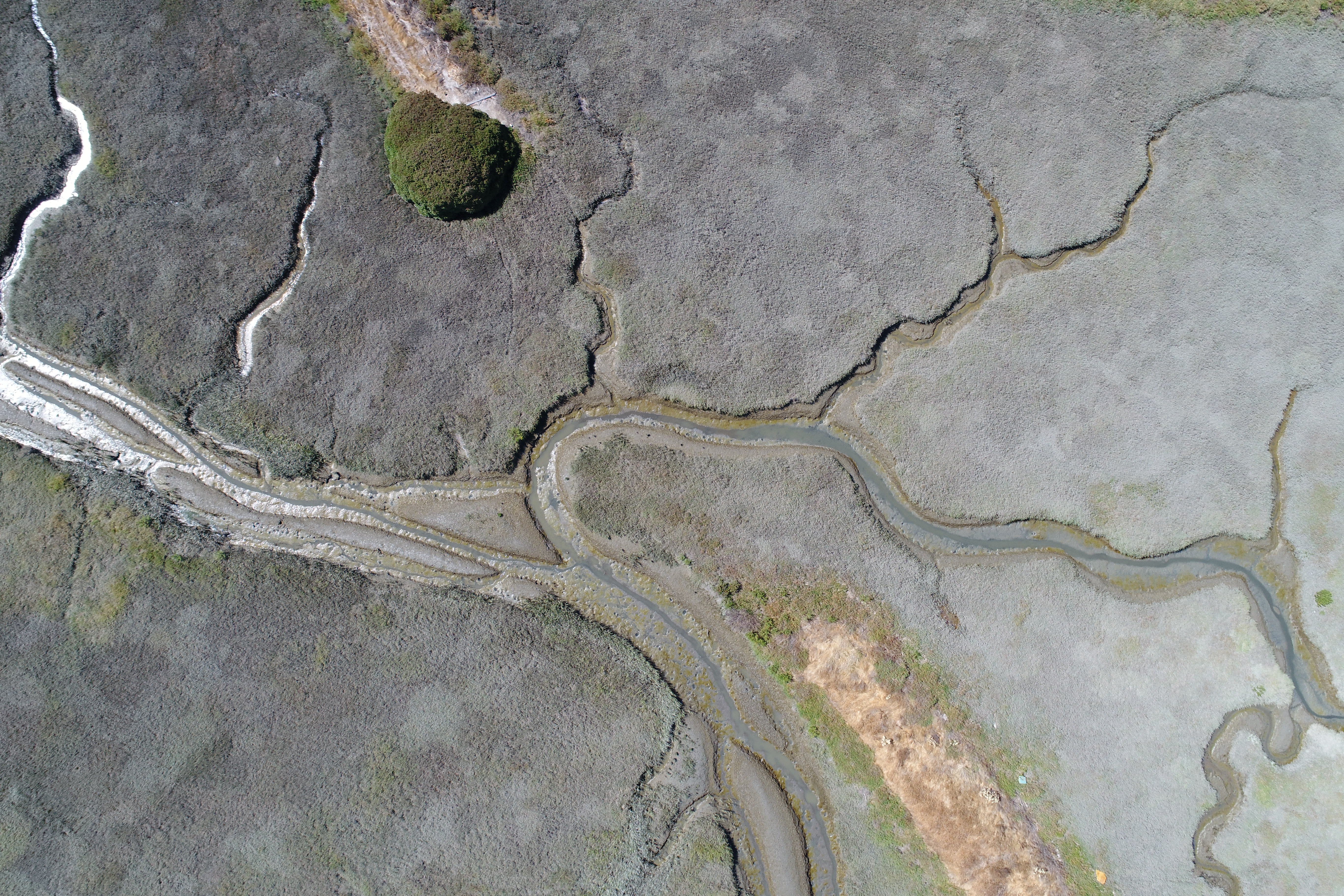
New data layers of tidal wetland restoration projects in San Francisco Bay now available!
EcoAtlas Project Tracker is a statewide online data entry tool used across the Bay region to track information on wetland restoration, mitigation, and habitat conservation projects. It provides standardized information on the activities involved in restoring habitats. Project Tracker is the most complete database of California wetland restoration projects and a valuable tool for planners and managers.
However, some known limitations can hinder Project Tracker’s ability to comprehensively track wetland restoration acreage, such as out-of-date records. To address these issues, the WRMP has created new data products from Project Tracker. These new products, known as the Project Tracker Tidal Wetland Restoration Map (PTTWRM, ‘pitworm’) layers, are a reliable source that represents the acreage of tidal wetland restoration.
The PTTWRM layers address existing issues by systematically reviewing and updating all records to date and packaging them as a standalone dataset annually. By creating these standalone datasets, representing data from 2020 and 2024, the information from Project Tracker becomes a resource for the region’s restoration community. This data can be cited to provide clarity on how restoration estimates are calculated and used for additional analyses to evaluate restoration progress and performance.
The PTTWRM layers are available now!




WRMP Releases Multiple Tools for Region-wide Planning
This summer marks a major milestone in regional data collection as the Wetlands Regional Monitoring Program and several key agencies launch the first Estuary-wide low tide LiDAR (Light Detection and Ranging) elevation collection. The data will enhance our understanding of our wetlands, shorelines, and restoration progress.
Helping California Track and Protect Its Wetlands
With millions spent on restoration projects across California, how are we able to consistently track the condition of wetlands—or the success of projects meant to protect them? Tools like SFEI’s EcoAtlas, Project Tracker, and CRAM are changing that. By bringing transparency, accountability, and science into the permitting process, these tools help ensure wetlands are not only restored, but truly recovered.
Tracking Tidal Wetland Extent in San Francisco Bay
The Wetlands Regional Monitoring Program updates acreage, highlighting restoration efforts. The WRMP delivers coordinated regional monitoring of the San Francisco Estuary’s wetlands to inform science-based decision-making for wetland restoration and adaptive management and increase the cost-effectiveness of permit-driven monitoring associated with wetland restoration projects. Learn how these new products advance our understanding of tidal wetland monitoring in the Estuary.

Project Tracker assists with regional reporting
More and more groups rely on Project Tracker to assist with their reporting. Why? Because Project Tracker standardizes project data across programs so it is easier to summarize information for reporting purposes.
New Project Tracker online forms
New Project Tracker online forms enhance EcoAtlas' regional capacity for habitat restoration project tracking, assessment and reporting. Partners can now upload and edit project information and approve projects for display on EcoAtlas.