Digital Wetland Mapping & Basemap Development
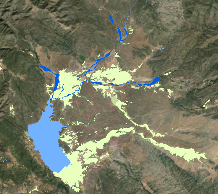
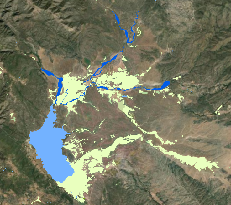
A successful regional monitoring program relies on a foundational, accurate basemap detailing the current distribution, abundance, and diversity of wetlands and other surface waters. To build this foundation, SFEI build upon advances in automated mapping and updates the California Aquatic Resource Inventory (CARI)—a statewide basemap of surface waters and habitats compiled from the best available regional and local digital maps. By utilizing this digital mapping framework, the team is able to efficiently catalog coastal watersheds and establish a baseline for regional monitoring efforts. Since methods are automated, as new data is collected, these mapping layers can be continuously updated, ultimately providing a map layer that accurately reflects the on-the-ground reality of the region's wetlands.
Condition Assessment (CRAM) & Ground-Truthing Site Visits
While mapping provides the spatial distribution of wetlands, the project utilizes the California Rapid Assessment Method (CRAM) to evaluate their actual ecological condition. CRAM is a cost-effective, scientifically defensible tool designed to assess ambient wetland conditions and the performance of mitigation and restoration projects.
A critical component of this ecological assessment involves rigorous ground-truthing. SFEI and Water Board staff are conducting up to 10 days of targeted site visits to perform in-person CRAM assessments. During these field visits, the team will evaluate approximately 20 previously permitted (401) sites and grant locations to verify if the habitats are successfully meeting their expected ecological targets.
Key Deliverables
Data gathered from both the digital mapping and the ground-truthing site visits will be synthesized to benefit both regulators and the public. Key project outcomes include:
- Comprehensive CRAM Assessment Summary Report detailing the findings from all field sites visited.
- The entry of all verified field data into the public statewide eCRAM database.
- Updated Aquatic Resoruce Inventory that leverages advances in automated wetland mapping that will be used to update the California Aquatic Resoruce Inventory (CARI).
Together, these efforts will help establish a robust ambient monitoring program for the San Diego Watershed and ensure regional wetlands are accurately mapped and effectively protected.








Other Individual Contributors