| Attachment | Size |
|---|---|
| SDARI SOP v1.0 | 14.1 MB |

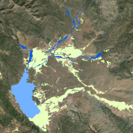
The purpose of this document is to describe the mapping classification system and methods used to develop the San Diego Aquatic Resource Inventory (SDARI) in 2024. SDARI is an inventory of aquatic resources and their associated vegetated areas in San Diego, CA, specifically within the Water Quality Control Board Region 9.
The inventory was developed in a Geographic Information System (GIS), employing a standardized, and regionally relevant classification system to support environmental planning and resource management tracking at a local and regional scale. SDARI will be integrated into the California Aquatic Resources Inventory (CARI), which is publicly accessible on EcoAtlas (www.ecoatlas.org). CARI is the statewide standardized dataset intended to support regional watershed restoration planning, tracking, and reporting.