Browse Our Stories
Thu, Apr 9 2026
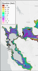
First High-Resolution Elevation Map for Whole Bay-Delta
A new mapping effort has produced the first high-resolution elevation data across the entire San Francisco Bay-Delta Estuary. The sub-ten-centimeter vertical accuracy makes the data key tool to planning for flood risk, sea level rise, and habitat restoration.
Fri, Mar 6 2026
To Save the Bay, Save its Sediment
Sand and mud are the essential building blocks for the Bay's shoreline to keep pace with sea level rise. But San Francisco Bay is losing 1.7 million metric tons more of sand and mud per year than it's gaining—more than double the weight of the Golden Gate Bridge. Sand mining and other human extraction are major drivers of the Bay’s sand deficit.
Fri, Feb 27 2026
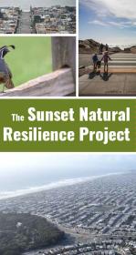
Nature-Based Approaches for a Resilient San Francisco
A new report details tangible lessons for urban greening gleaned from The Sunset Natural Resilience Project, which explores how to make San Francisco’s Sunset neighborhood greener and more resilient.
Thu, Sep 18 2025
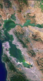
The Atlas for Regional Shoreline Adaptation Planning
The Regional Shoreline Adaptation Plan Atlas is a comprehensive resource for understanding and addressing the impacts of sea level rise along shorelines. Learn more about the San Francisco Bay Conservation and Development Commission's new tool to serve the best available science and information to a receptive community of municipal planners.

Thu, Jun 5 2025
San Francisco Baylands Resilience Metrics Mapbook
SFEI’s Baylands and Shoreline Resilience team helps planners, regulatory agencies, community-based organizations, and other stakeholders make informed decisions about where and how to implement nature-based solutions for sea level rise adaptation. The 2019 Adaptation Atlas identified places that are suitable for various types of nature-based solutions, including tidal marshes, mudflats, eelgrass, beaches, and oyster reefs.
Mon, Nov 18 2024 - Sat, Jan 25 2025
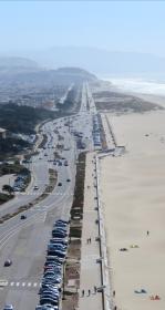
Changing Course on San Francisco’s Great Highway
A fixture of Western San Francisco, the Great Highway is home to a diverse ecosystem of sand dunes, native plants, and wildlife.

Fri, Jan 19 2024
The State released its SLR projections, and SFEI's Warner Chabot is featured in the comments
Future projections for sea level rise have been slightly reduced by the California Ocean Protection Council (OPC) in a report released by the agency today. The report projects an average rise of 9.6 inches by 2050, with the benefit of new data and expert interpretation.
Wed, Jan 18 2023
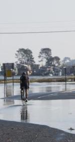
Groundwater Mapping Reveals New Vulnerabilities for the Bay Area
Featured in the Los Angeles Times, Mercury News, San Francisco Chronicle, San Francisco Examiner, KneeDeep Times, Marin Independent Journal, KQED, KALW, and ABC News, a new study sheds light on the hazards presented by rising groundwater. Pathways Climate Institute and SFEI have collaborated to produce maps that show where shallow groundwater, tied to sea-level rise, is an issue today and where it is likely to be a concern in the future as seas continue to rise.

Tue, Apr 13 2021
Sediment for Survival report released
SFEI worked with local, state, and federal science experts to develop the new Sediment for Survival report.

Fri, May 3 2019
SFEI's and SPUR's Adaptation Atlas shared by multiple media outlets
The newly released Adaptation Atlas (adaptationatlas.sfei.org) has been making waves on several significant media outlets, including the San Francisco Chronicle, the San Jos