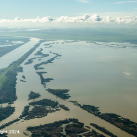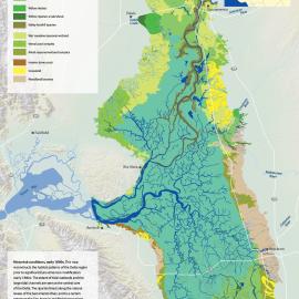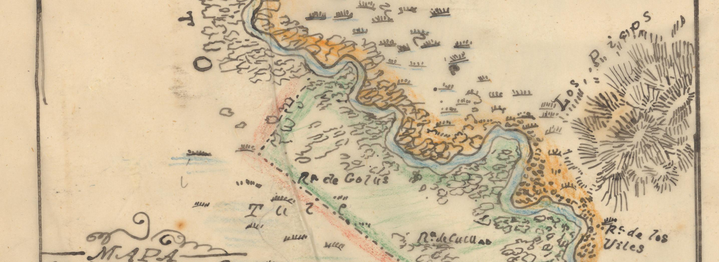

The StoryMap is the result of the first phase of the Sacramento Valley Historical Ecology Study.
The Resilient Landscapes Program at SFEI has recently completed the first phase of the Sacramento Valley Historical Ecology Study. The goal of the study is to synthesize diverse historical data to enhance understanding of the ecological, hydrological, and geomorphic conditions of the Sacramento Valley prior to major Euro-American modification. Ultimately, the study hopes to inform a pathway for creating more functional floodplains in the Sacramento Valley.
Over the past century and a half, efforts to control flooding in the valley resulted in the construction of an extensive system of levees, weirs, flood bypasses, and dams. These changes have reduced or eliminated natural flooding. The floodplains were once vast wetlands that filled seasonally with overflow from the Sacramento River and water from streams. Now they are largely disconnected from river channels and dominated by agricultural and urban development. An understanding of historical ecology and physical processes in the Sacramento Valley is necessary to guide reestablishment (or approximation) of the natural physical and biological processes that create and sustain healthy ecosystems for salmonids and many other native plant and wildlife species.
As part of this effort, we have developed an interactive, online StoryMap detailing the historical habitat patterns and channels of the Sacramento Valley. The StoryMap weaves together the preliminary, coarse-scale habitat mapping developed for this phase, historical maps and photos, and rich narrative to show how the valley's historical landscape once functioned circa 1850. We invite you to explore the StoryMap to learn more about the Sacramento Valley's historical landscape and aid your interpretation of the mapping.

This effort was made possible through funding and fiscal support provided by the US Bureau of Reclamation and Reclamation District 108, and direction from CalTrout and KSN, Inc.
The team is now seeking funding for an expanded historical ecology study in phase 3, which would allow us to:
- collect and synthesize a much larger number of historical data sources
- refine the reconnaissance-level mapping with finer-scale detail and additional supporting sources, and extend the mapping to remaining portions of the valley
- and conduct in-depth investigation of thematic topics like habitat structure and composition, inundation regimes and other physical processes, or wildlife support and other ecological functions.