
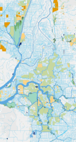
The Santa Rosa Plain WRAMP project focused on developing a landscape level, base line assessment of the aquatic resources in the study area by addressing the following question: what are the abundance, diversity, and ecological conditions of wetlands, streams, and their riparian areas within the Santa Rosa Plain? The project developed a detailed base map of the aquatic features within the study area using BAARI's standardized mapping protocols, and drafted new mapping protocols for local aquatic features not previously mapped in BAARI. The mapping methods are documented in the North Coast Aquatic Resources Inventory Mapping Standards and Methodologies (or NCARI Mapping Standards). The aquatic resources maping effort was completed in 2012 and the GIS dataset was incorporated into EcoAtlas.
View NCARI online at EcoAtlas.






Mapping our Wetlands: Explore the Latest CARI Updates
CARI is a statewide dataset that compiles the most comprehensive wetland mapping available in California. It serves as a valuable resource for coordinating landscape-scale monitoring and assessment across multiple agencies.

SF Estuary Wetlands Regional Program Plan Released!
The Wetland Regional Monitoring Program (WRMP) Plan has been released! The WRMP will improve wetland restoration project success by putting in place regional-scale monitoring increasing the impact, utility and application of permit-driven monitoring to inform science-based decision-making.