About the project
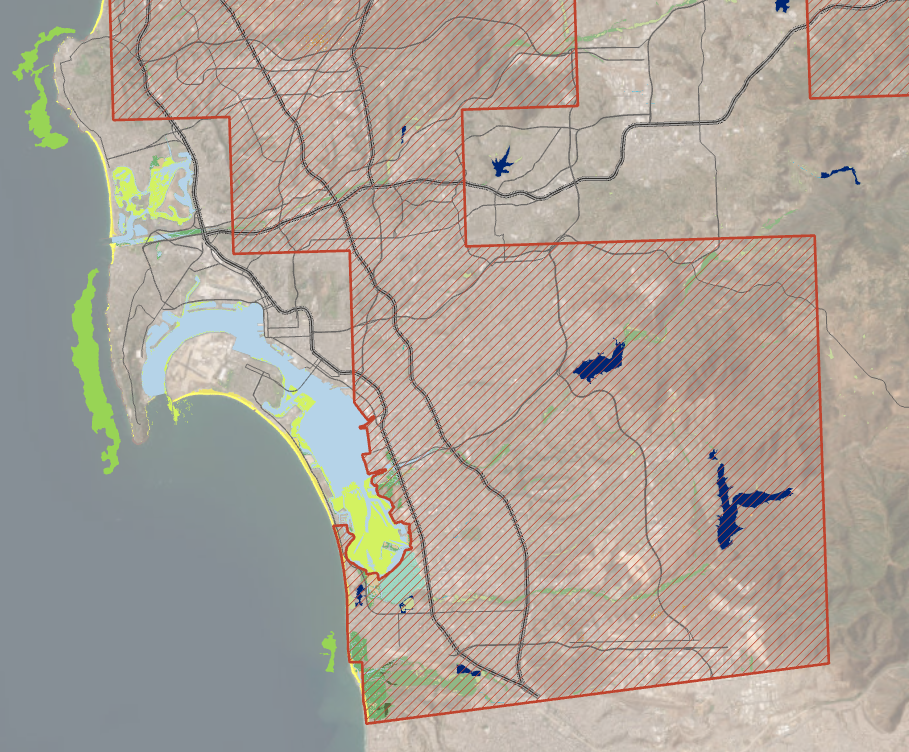
SFEI’s GIS Team partnered with the Caltrans Advance Mitigation Program to support their statewide needs assessment reports by leveraging the California Aquatic Resource Inventory (CARI). In doing so, the team introduced several key enhancements to CARI: they streamlined the scripting process, incorporated new aquatic feature datasets, added quality control checks, and resolved geometry processing issues. The new version of CARI was released and integrated into EcoAtlas.
One of their major innovations was a novel method for modeling vernal pools using LiDAR elevation data. This resulted in the creation of an individual vernal pools dataset, which was then integrated into CARI.
The GIS Team also conducted a comprehensive habitat analysis, combining CARI data with species range information to identify likely suitable habitats for approximately 70 threatened or endangered species of fish, invertebrates, and plants. Through scripting, these habitat associations were captured in additional data columns, making it easier to identify aquatic features relevant to specific species.
Finally, the team ran RipZET (a GIS-based tool for estimating riparian zones) statewide on a modified CARI dataset, modeling areas where riparian functions are likely supported based on hillslope and vegetation processes.





Other Individual Contributors