Until the advent of this new map viewer, a valuable resource was largely unavailable to coastal planners. Now, US Coastal Survey maps are free for broad use.
Under the direction of some of the leading American scientists of the 19th century, the United States Coast Survey (USCS) created exceptionally accurate and detailed maps of the country's coastline. These surveys (commonly referred to as "T-sheets") are the single most important data source for understanding the physical and ecological characteristics of the US shoreline prior to substantial Euro-American modification. Their depictions of coastal wetlands and estuaries prior to major development are valuable tools for coastal zone planning and estuary management and form an important foundation for more detailed investigations of historical extent and condition of coastal wetlands.
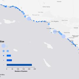
The interactive map provides access to digital versions of the T-sheets Southern California and San Francisco Bay, GIS layers of streams and wetlands based on the maps, and related tools to support their use.