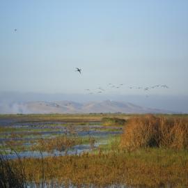
This dataset depicts historical habitat and channel configuration in Suisun Marsh, representing prevailing ecological conditions in the study area in the early 1800s, prior to major Euro-American modification. Developed for the Suisun Landscapes project with funding from the Delta Stewardship Council, these data provide foundational information about historical landscape patterns, and serve as a baseline for evaluating landscape change in the Landscape Scenario Planning Tool (LSPT).
The Suisun Marsh historical habitat type and channel mapping described here builds on and supersedes historical baylands mapping completed in 1998 (Goals Project, 1999) and SFEI’s historical reconnaissance mapping effort in Suisun (SFEI-ASC 2022).
For more information on methods and background please refer to the GIS data's attached metadata.
San Francisco Estuary Institute (SFEI). 2024. "Suisun Historical Habitat and Channel GIS Data". Accessed [date retrieved]. https://www.sfei.org/data/suisun-historical-habitat-and-channel-gis-data
This file is part of Suisun Historical Habitat and Channel GIS Data.
Suisun Historical Habitat and Channel GIS Data is free data: you can redistribute it and/or modify it under the terms of the GNU General Public License as published by the Free Software Foundation, either version 3 of the License, or (at your option) any later version.
Suisun Historical Habitat and Channel GIS Data is distributed in the hope that it will be useful, but WITHOUT ANY WARRANTY; without even the implied warranty of MERCHANTABILITY or FITNESS FOR A PARTICULAR PURPOSE. See the GNU General Public License for more details.
More information about GNU General Public License is available at http://www.gnu.org/licenses/. SFEI data are available without restriction upon use with the following caveats. Prudent usage, knowledge of the data quality, and professional courtesy should all be considered in obtaining and using SFEI data. As this dataset is NOT a survey document, neither use it as such nor use it beyond the limits of the source scale. Please read and fully comprehend all available metadata prior to data use. SFEI requests that the use of these data in any map, publication, or report should include citation of the data source(s) used and give proper attribution and credit to the originators of the data. Questions about SFEI data may be directed to the SFEI GIS team at [email protected].