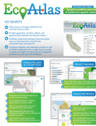
Review our work products
We provide easy access to thousands of SFEI’s reports, journal articles, books, conference papers/proceedings, factsheets, hearing summaries, maps, and more.
These printable and downloadable materials connect our science to action, cover a broad range of topics, and have many applications. This library is searchable and filterable. If you have difficulty finding the information you are looking for, please contact us at [email protected].
Programs & Topics
Select the program or topic of your interest among the nested filters below.
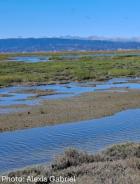
Baylands Habitat Map 2020 Webinar Series Part 2: Tidal Marsh Extent Webinar
Author(s): Cristina Grosso | Lisa Beers | Kelly Iknayan
2025
The WRMP held a webinar on April 16, 2025 to discuss how we answered the question: How much tidal wetland do we have in San Francisco Bay?
…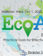
EcoAtlas Essentials Webinar Showcases Practical Tools for Ecological Planning
Author(s): Cristina Grosso | Todd Hallenbeck | Lisa Beers | Sarah Pearce | Pete Kauhanen | Erica Johnson | Heidi Williams
2025
On October 1, 2025, the San Francisco Estuary Geospatial Workgroup (SFEGWG) hosted EcoAtlas Essentials: Practical Tools for Effective Ecological Planning, a webinar designed to guide participants in exploring how …
Author(s): WRMP
2025
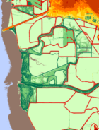
To develop effective climate vulnerability assessments and adaptation plans, coastal resource managers need to understand how shoreline topography, hydrology, and habitats change over time. The California Ocean Protection Council funded the San Francisco Estuary Institute and…
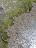
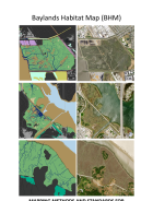
Mapping Methods And Standards For Bayland Habitats In The San Francisco Bay
Author(s): Alex Braud | Pete Kauhanen | Regan Murray | Katarina Palermo
2025
The purpose of this document is to describe the mapping classification system and methods used to develop the Baylands Habitat Map 2020 (BHM). BHM is a geospatial inventory of tidal and diked baylands and their key landform features. The inventory was largely developed using…
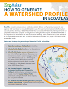
Author(s): Cristina Grosso | Sarah Lowe | Sarah Pearce | Kevin O'Connor | Lindsay Teunis | Eric Stein | Jennifer Siu | Melissa Scianni
2023
The goal of this Training and Outreach Plan is to increase the overall awareness and use of the WRAMP datasets and tools in support of wetland resource planning, management, and project performance tracking in California. Specifically, a near-term …
Author(s):
2019
The California Rapid Assessment Method (CRAM) is a tool for assessing the condition of wetlands and streams at scales ranging from individual projects to watersheds, regions, and statewide. CRAM, alone or with other assessment methods, can be used to assess current conditions…
Author(s):
2017
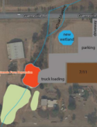
This report is an excerpt of the Santa Rosa Plain example from the full Evaluating Wetland Beneficial Uses At Project and Watershed Scales report.…
Author(s): Tony Hale | Cristina Grosso
2017
The following plan is intended to ensure the continued vitality of the toolset. The plan’s success will depend upon the continued collaboration of the public agencies that have supported the toolset thus far, but it must also integrate principles of resilience as it accounts…
Author(s): Jing Wu | Pete Kauhanen | Sarah Lowe | Sarah Pearce | Josh Collins
2017
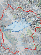
This summary memorandum presents technical recommendations to the 401 Certification and Waste Discharge Program (401 Program) of the State Water Resources Control Board (State Board) for a coherent, scientifically sound, repeatable, watershed approach to wetland restoration…
- 1. Wetland Beneficial Use Protection: Pilot Demonstration Project
- 2. Synthesis of Literature on Wetland Assimilation Capacities, Models, and Pollutant Loads...
- 3.A. Simulating Wetland Assimilation Capacity in the Lower Santa Rosa Creek Watershed Pilot Demonstration Area Using HSPF Model
- 3.B. Demonstration of a Watershed Approach to Wetland Restoration Planning Using GreenPlan-IT
- 4. Evaluating Wetland Beneficial Uses At Project and Watershed Scales
Author(s): K. Fadtke | Cristina Grosso | Linda Wanczyk
2015
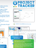
EcoAtlas Project Tracker has many key benefits, including:
- Enhanced regional capacity for habitat restoration project tracking, assessment and reporting …