Browse Our Stories
Mon, Nov 18 2024 - Fri, Dec 5 2025
WRMP Webinar Series: Introducing the Baylands Habitat Map 2020!
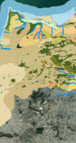
The San Francisco Estuary Wetlands Regional Monitoring Program (WRMP) held a webinar on October 15, 2024 to introduce the recently released Baylands Habitat Map 2020.

Thu, Aug 22 2024
New Baylands Habitat Map Tracks Restoration Progress
The Baylands Habitat Map 2020 is the first complete map of San Francisco Bay wetland and aquatic habitats produced since 2009. It provides updated maps of tidal habitats and diked baylands, expanding our understanding of the full impact of recent habitat change and restoration.

Sat, Mar 9 2024
Enhanced Landscape Profile Modes in EcoAtlas deliver new insights
EcoAtlas is a mapping and geographic data visualization tool that continues to evolve to meet emerging needs. The toolset now includes new data layers and summaries to support the watershed planning, tracking, and reporting needs for the state.
Mon, Apr 18 2022
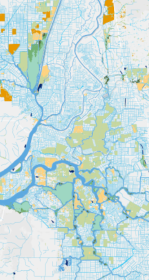
The Delta Aquatic Resource Inventory (DARI) is a map of surface waters, wetlands and other aquatic resources in the Sacramento-San Joaquin Delta. A similar mapping approach used to create the Bay Area Aquatic Resource Inventory (BAARI) was applied to complete a consistent map across the larger San Francisco Estuary. Both DARI and BAARI are integrated into the California Aquatic Resource Inventory (CARI), which serves as the basemap in EcoAtlas.