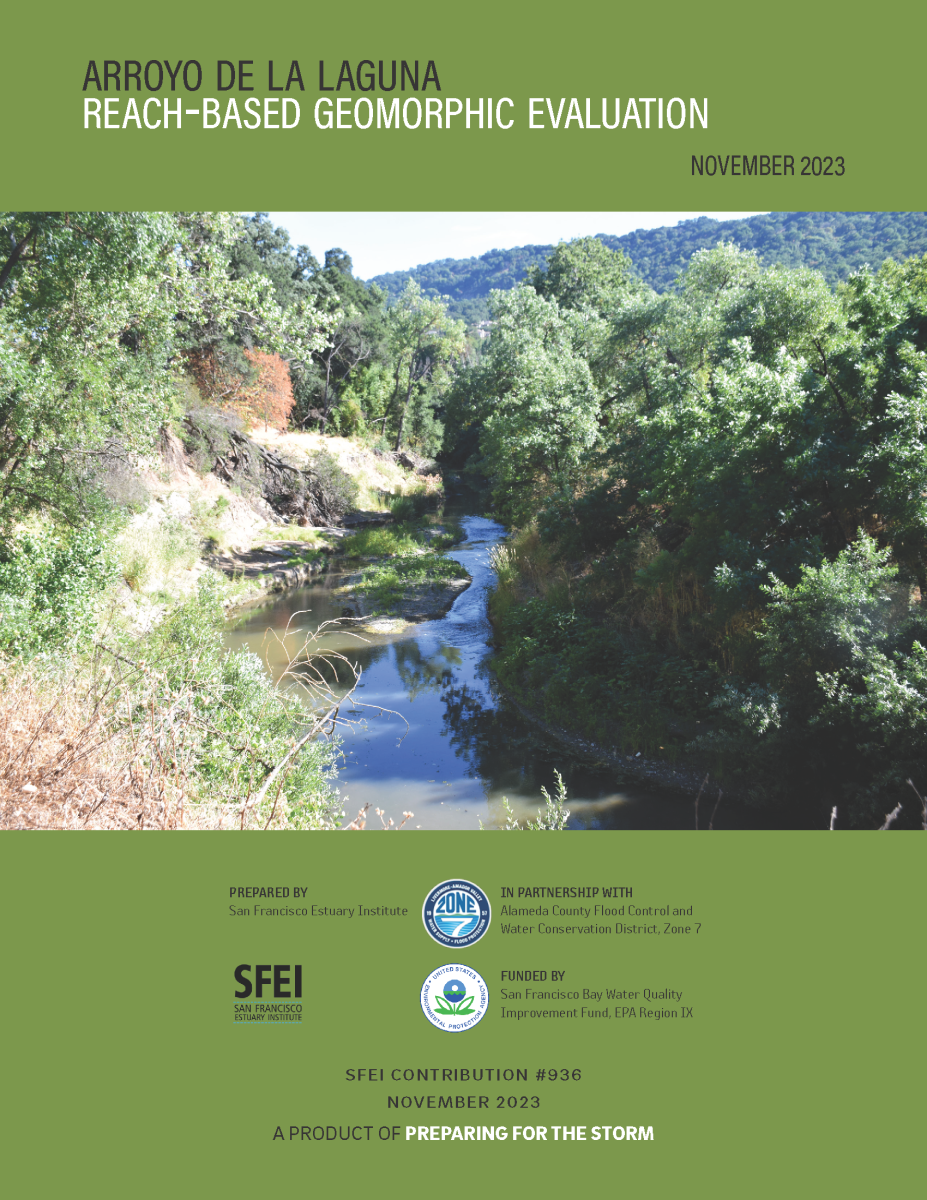
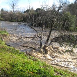
The reach of ADLL between the Arroyo Del Valle confluence (at the Interstate 680 crossing) and Verona Road is currently experiencing significant changes to its channel morphology, namely incision and widening, leading to bank erosion and bank failures. Many of the parcels adjacent to the stream channel are experiencing loss of property and damage or loss of some bank-top structures. The complex history of this reach makes it difficult to determine the current and future condition and functioning. In an effort to understand the ADLL geomorphic processes and channel evolutionary pathway, Zone 7 has partnered with SFEI to create this Reach-based Geomorphic Evaluation report that will serve as a reference for the historical, current, and likely future condition of the reach, and will provide broader context to inform decisions about potential restoration projects.