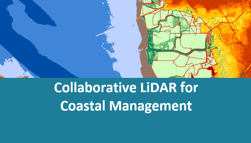
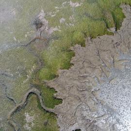
To develop effective climate vulnerability assessments and adaptation plans, coastal resource managers need to understand how shoreline topography, hydrology, and habitats change over time. The California Ocean Protection Council funded the San Francisco Estuary Institute and the Southern California Coastal Water Research Project to assess different methods for tracking coastal habitat change statewide. The resulting white paper highlights the value of low tide Lidar collections to support coastal mapping, monitoring, and management. Collaborative funding models can help ensure that data are routinely collected and processed into products that serve a broad range of end users.
The San Francisco Estuary Wetlands Regional Monitoring Program (WRMP) recently modeled this approach by collecting low tide Lidar across the entire estuary. This effort was funded by the San Francisco Bay Restoration Authority, Delta Stewardship Council, Department of Water Resources, South Bay Salt Pond Restoration Project, and Valley Water. The resulting data products and change detection methods will support the WRMP and its partners, shoreline communities developing Senate Bill 272-compliant sea level rise adaptation plans, project designers, regulators, and more. If you’re interested in scaling this approach across California, please get in touch!
| Attachment | Size |
|---|---|
| Collaborative LiDAR_One-Pager.pdf | 770.15 KB |