
Working with Nature to Plan for Sea Level Rise
As sea levels continue to rise, communities will need to adapt the San Francisco Bay shoreline to create greater social, economic, and ecological resilience. A critical tool for this process is a science-based framework for developing adaptation strategies that are appropriate for the diverse shoreline of the Bay and that take advantage of natural processes. This project proposes such a framework: Operational Landscape Units for San Francisco Bay.
About the Operational Landscape Unit (OLU) framework
Operational Landscape Units (OLUs) are a practical way to manage the physical and jurisdictional complexity of the Bay shoreline. Home to beaches, wetlands, marinas, ports, landfills, lifeline infrastructure, residential neighborhoods and more, San Francisco Bay’s 650-kilometer (400-mile) shoreline is diverse, which means there is no one-size-fits-all solution to rising sea levels. The OLU framework divides the Bay shoreline into 30 distinct OLUs, geographic areas that share common physical characteristics. OLUs cross traditional jurisdictional boundaries of cities and counties, but adhere to the boundaries of natural processes like tides, waves, and sediment movement. Taken as a whole, OLUs encompass the entire Bay shoreline, cover the region’s land area potentially vulnerable to future sea level rise, and represent areas along and adjacent to the shore for which geographically specific and science-based sea level rise adaptation strategies can be developed.
A key purpose of the OLU framework is to identify where natural and nature-based approaches, such as beaches, marshes, and subtidal reefs, can help create a resilient shoreline with multiple benefits. Nature-based approaches and hybrid measures that integrate nature with engineered structural approaches, may perform better than traditional engineered infrastructure, while costing less and providing co-benefits like new recreational opportunities and habitat for native species. Adaptation in each OLU will most likely require a combination of nature-based measures, traditional engineering, and non-structural or policy strategies.
Within the next few decades, flood events signaling sea level rise will likely trigger more efforts around the Bay to plan for adaptation, to control flooding, and to modify the shoreline. Using OLUs as a planning framework and prioritizing appropriate nature-based solutions within them, can help ensure that future adaptation actions are sustainable and confer the most benefits per dollar spent.
The San Francisco Bay Shoreline Adaptation Atlas report presents information about OLUs in four major chapters that summarize both the process of developing the OLUs and how the OLUs might be applied.
What is an Operational Landscape Unit?
Operational Landscape Units (OLUs) are connected geographic areas sharing certain physical characteristics that would benefit from being managed as a unit to provide particular desired ecosystem functions and services. OLUs can be identified anywhere across the earth’s surface, with their size and composition depending upon the landscape in question and the ecosystem functions and services of interest. For this project, we identify Baylands OLUs which we define as connected areas along the shoreline of San Francisco Bay with particular physical characteristics that should be managed as coherent units for nature-based sea-level rise adaptation.
Baylands OLUs consist of landscape features such as rivers, floodplains, and wetlands, as well as elements of the built environment such as parking lots, landfills, and residential neighborhoods. The connections between the features of the Baylands OLUs are important: altering the movement of sediment or water in one part of an OLU is likely to have an impact elsewhere in the OLU. Because of these close connections, effective management of one feature within the OLU should require the consideration and management of the other connected features within the OLU.
Why natural and nature-based adaptation?
Natural and nature-based adaptation measures work with natural processes and landforms to provide protection for both ecosystems and the built environment and to support coastal resilience and risk reduction. Along our highly modified shorelines, natural and nature-based measures are also inherently hybrid approaches—engineered to mimic natural processes and also provide specific services such as coastal risk reduction and critical habitat.
Natural and nature-based approaches may have lower whole-life costs, provide more benefits to people, plants, and wildlife, and be more adaptable over time than conventional alternatives. However, knowledge about and confidence in the performance of natural and nature-based measures varies. Because nature-based measures have so much promise, they should continue to be piloted and monitored around the Bay, and their performance analyzed to inform continuous improvement in their design and implementation.
How to use the OLU framework
The OLU framework can be applied to adaptation planning at several levels, including by users with a regional view who are interested in understanding the places in the Bay where specific nature-based adaptation measures are suitable. This group may include federal and state government permit analysts and project applicants, non-governmental organizations, regional planners and agencies, and local government staff and officials who want to understand the range of suitable nature-based and other policy-based adaptation opportunities when evaluating project permits, investing in shoreline changes, and developing climate change policies and regulations. This report can also help these users identify opportunities for habitat restoration and endangered species recovery. In addition, the OLU concept can serve as a spatial framework for monitoring the health of wetlands over time, or as an organizing framework for governance and decision making for adaptation in general.
Adaptation measures explored in this project
Adaptation measures are specific interventions or ways to manage the shoreline, flooding, and sea level rise. They can be combined and implemented over time in a planned sequence (or “pathway”) that is appropriate to the landscape setting and, over time, helps to manage and reduce various coastal risks, including erosion, fluvial flooding, sea level rise, and combined (fluvial and tidal) flooding.
This project defines and describes more than two dozen adaptation measures that are potentially appropriate to the Bay’s OLUs. Four categories of adaptation measures are explored:
- Structural, natural and nature-based measures: physical landscape features that are created and evolve over time through the actions of environmental processes, or features that mimic characteristics of natural features but are created by engineering and construction (in concert with natural processes) to provide coastal protection and other ecosystem services.
- Structural, conventional physical (grey) infrastructure: physical features constructed by humans to provide coastal protection. Usually constructed with relatively hard materials such as concrete, rock, and steel, and without incorporation of biological components.
- Non-structural, policy and regulatory measures: utilizing laws, policies, and regulations such as permits, zoning, and general plans to influence future land use and the built environment to manage risk.
- Non-structural, financial measures: non-physical ways of creating financial incentives and disincentives to enable implementation of other structural and policy measures.
For more information, see Chapter 4: Adaptation measures in the San Francisco Bay Shoreline Adaptation Atlas report.
Projects that apply the OLU framework
San Francisco Bay Shoreline Adaptation Atlas
In the coming decades the San Francisco Bay shoreline will face increasing threats from rising sea levels. A critical but missing tool for this process is a science-based framework for developing climate adaptation strategies that are appropriate to our diverse shoreline settings and that take advantage of natural processes in the Bay. This report proposes such a framework: Operational Landscape Units for San Francisco Bay, or OLUs. The primary focus of this framework is to work with nature to identify where natural and nature-based approaches can be used to create a resilient shoreline with multiple benefits.
Sea Level Rise Adaptation Framework: A user guide to planning with nature, as demonstrated in Marin County
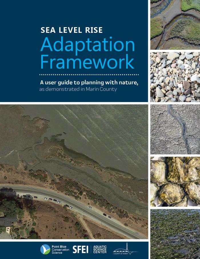
This new user guide was developed to help planners and other stakeholders include nature-based strategies when addressing sea level rise hazards. Developed by SFEI and Point Blue Conservation Science in partnership with the County of Marin, the framework helps planners determine which nature-based measures are suitable given specific site conditions and desired outcomes, and offers an approach for transparently considering multiple benefits to evaluate trade-offs among strategies. This report builds upon concepts from the S.F. Bay Shoreline Adaptation Atlas on applying natural and nature-based approaches to create resilient shorelines by illustrating the process with examples from two Operational Landscape Units (OLUs) located in Marin County: Novato and Corte Madera. For more information on this project, see Point Blue Conservation Science's project page.
An Ecosystem Services Approach to Informing Planning and Conservation for a Resilient San Francisco Bay Area Coastline
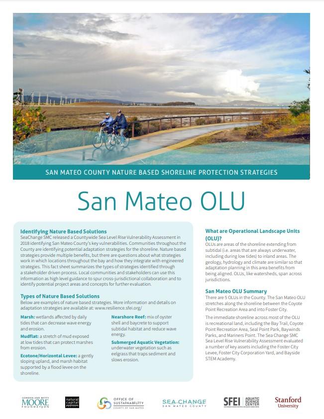
The Natural Capital Project (NatCap), in partnership with SFEI, worked with San Mateo County’s Office of Sustainability to develop a science-based approach to assess the feasibility of natural and nature-based climate adaptation strategies in the County using the OLU framework. This work informed the Resilience Planning phase of the County’s sea-level rise adaptation initiative called SeaChange. SFEI’s Operational Landscape Unit (OLU) framework and NatCap’s ecosystem-services based approach were used to help evaluate the critical local and regional trade-offs associated with different climate-adaptation strategies. For more information on this project, see Sea Change SMC's project page or the scientific article published about the work in the open-access journal Urban Sustainability: "Protection and restoration of coastal habitats yield multiple benefits for urban residents as sea levels rise."
Ecotone levees and wildlife connectivity: A technical update to the Adaptation Atlas
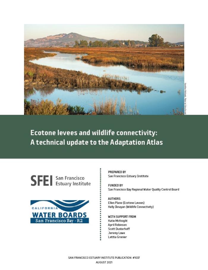
This report updates the Adaptation Atlas suitability mapping for ecotone levees and introduces a new habitat connectivity analysis focused on assessing the value of marsh habitat patches for two focal wildlife species. These new analyses address key next steps identified in the Adaptation Atlas by investigating issues related to infrastructure, water quality, wildlife habitat, and endangered species. The ecotone levee and wildlife connectivity analyses presented in this report can be used by Bay restoration and adaptation practitioners to identify possible projects and assess their potential ecological value.
Adaptation Planning for the Bay Point Operational Landscape Unit
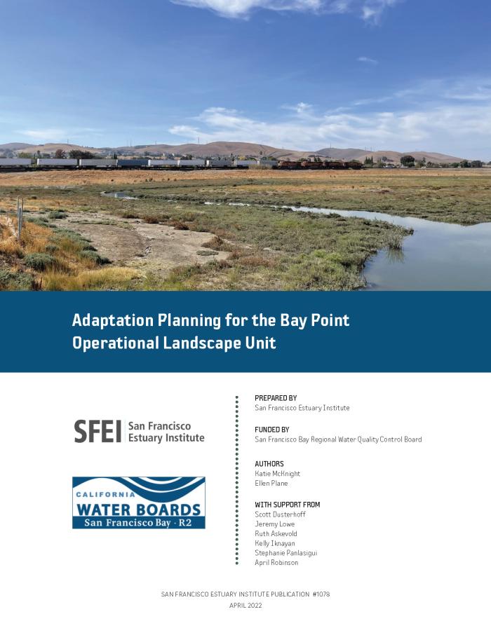
This report is meant to catalyze discussion and offer resources about nature-based opportunities for sea-level rise adaptation in the Bay Point Operational Landscape Unit. The Bay Point OLU is a mix of open space and developed areas at the mouth of the Sacramento and San Joaquin rivers, where the Delta meets the San Francisco Bay. The report includes refined adaptation opportunity maps, including potential near-term and long-term adaptation measures.
Adaptation Pathways for the San Leandro Operational Landscape Unit
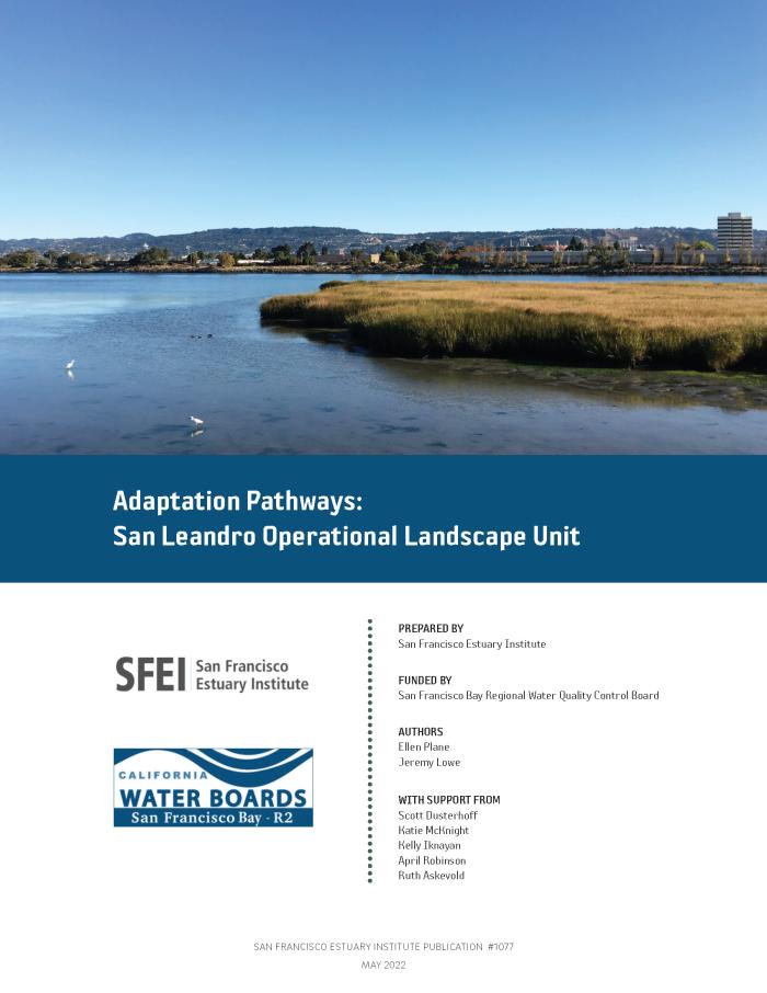
This report demonstrates the application of Adaptation Atlas principles at the OLU scale and is meant to catalyze planning efforts of the San Leandro Bay/Oakland-Alameda Estuary Adaptation Working Group. The San Leandro OLU is a highly urbanized and dynamic area covering portions of the cities of Oakland and Alameda, and correspondingly there are a range of ongoing projects, plans, and visions for the future of the shoreline from the many stakeholders in the area. The report lays out example adaptation pathways, including triggers and thresholds, to show how adaptation strategies can be woven together into a long-term plan for SLR adaptation that achieves multiple goals.
Outreach
Following the release of the San Francisco Bay Shoreline Adaptation Atlas, SFEI and its partners led several outreach efforts, which resulted in this project's deep and persistent influence. The following are some examples.
San Francisco Bay Shoreline Adaptation Atlas webinar
On May 2nd, 2019, SFEI hosted a webinar to walk through our new report, the San Francisco Bay Shoreline Adaptation Atlas―a tool for helping communities plan for sea level rise in the Bay. The report includes a discussion of how to use nature's boundaries to plan for sea level rise collaboratively. It includes multiple maps describing the geographic setting and environmental characteristics along the Bay shore, as well as a discussion of over 24 adaptation measures that could be suitable in San Francisco Bay. Finally the report includes an atlas of the entire shoreline broken into 30 segments (known as Operational Landscape Units), with a discussion of which nature-based strategies and which long-term land use changes could be used to prepare for sea level rise and other types of climate change induced flooding.
Incorporating OLUs into planning processes

Paired with vulnerability information developed by counties and other government agencies, the OLU framework is already being used in the Bay Area as an input to both regional and county-wide adaptation planning processes. This framework could continue to provide support to users focused on a specific community or local area who are engaged in or interested in launching a planning process for sea level rise adaptation. This group may include communities or local government planners. This framework could support these users in developing OLU-based strategies and visions, considering trade-offs among adaptation strategies, and creating local climate action plans, flood risk management plans, and general and local plans.
Learn more about how San Mateo County (SeaChange SMC) is applying the OLU framework through stakeholder meetings and workshops.
Learn more about how Marin County is planning for sea level rise.
Download a presentation with a brief overview of the OLU framework.
Science support for the Resilient by Design competition
San Francisco Estuary Institute (SFEI) scientists served as science advisors, translating recent advances and critical findings in shoreline restoration and adaptation to inform the Resilient by Design Challenge design teams. Key contributions by SFEI included conducting a science briefing event, contributing to RbD’s Briefing Book publication and providing feedback on conceptual design approaches through one-on-one consultations with design teams. During this process, an early version of the OLU framework was released to aid design teams.
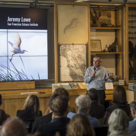
As part of this effort, SFEI conducted a two-hour science briefing at the Exploratorium in San Francisco in September 2018, during which the initial OLU concept was introduced. It was a public event, created to advise the 10 Resilient by Design teams during the “kick-off” week of the RBD Challenge. Over 50 members of the 10 teams attended, along with an additional 150+ community leaders, and as many as 1,800 people watched the live video stream. Four SFEI scientists each provided a 30 minute presentation. See below for a link to the video. Funding for this event was provided by the Santa Clara Valley Water District.
Maps & Data
The Adaptation Atlas
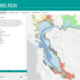
view storymapThe Adaptation Atlas illustrates where there are suitable locations for a subset of natural and nature-based adaptation measures within each OLU, based on the analyses undertaken in the San Francisco Bay Shoreline Adaptation Atlas report. Click on the map to learn more about the Adaptation Atlas. If you would like to zoom in on the mapped nature-based adaptation opportunities by location, access our interactive map.
For a brief introduction of the Adaptation Atlas, view a short storymap.
To work with GIS data from the Adaptation Atlas, visit the dataset download page.

A Collaborative Effort
The San Francisco Bay Shoreline Adaptation Atlas report was a collaborative effort between the San Francisco Estuary Institute and SPUR. The San Francisco Bay Regional Water Quality Control Board (“Water Board”) provided the majority of funding for this project and report. Additional funding was provided by the Bernard and Anne Spitzer Charitable Trust, the Marin Community Foundation, the Seed Fund, the Gordon and Betty Moore Foundation, and Google.
The project has benefited substantially from the sound technical guidance, engagement, and enthusiasm contributed by our Technical Advisory Committee and Regional Advisory Committee.






Other Individual Contributors


As the climate continues to change, San Francisco Bay shoreline communities will need to adapt in order to build social and ecological resilience to rising sea levels.
The San Francisco Bay Shoreline Adaptation Atlas, developed by SFEI and SPUR in 2019, provides a framework for addressing sea-level rise through nature-based solutions.

San Francisco Baylands Resilience Metrics Mapbook
SFEI’s Baylands and Shoreline Resilience team helps planners, regulatory agencies, community-based organizations, and other stakeholders make informed decisions about where and how to implement nature-based solutions for sea level rise adaptation. The 2019 Adaptation Atlas identified places that are suitable for various types of nature-based solutions, including tidal marshes, mudflats, eelgrass, beaches, and oyster reefs.

We offer you a simple tool that we created for our 75-person “work community” to help each other that yours might also find helpful. This is a mapping tool, which we call Care in the Time of Corona. It helps us locate and efficiently provide the support that our SFEI staff might offer one another. Quite simply, it facilitates assistance within our organization so that people can help their colleagues deal with challenges of this unprecedented situation. The errands, food, medicine, or even compassionate discussion they need can be addressed through a convenient and filterable map. We hope this guidance and the spirit behind it will help support your community and sustain a sense of well-being as we meet this challenge head on together.
Newark considering controversial 469-home development at the edge of the Baylands
SFEI scientist Julie Beagle was consulted to discuss the value of wetlands at the Bay's edge in Newark, where a controversial new development is planned for an area adjacent to critical marshland.
Eleven years to save San Francisco Bay
SFEI scientist Julie Beagle and SPUR-based collaborator Laura Tam co-authored an article featured in the SF Chronicle:
A New Atlas for Dealing With Rising Seas in the Bay Area
SFEI's Julie Beagle penned a new article for Bay Nature, describing the importance of the new Adaptation Atlas, a guide for those around the Bay Area looking for the best ways to adapt their local area to sea-level rise

SFEI's and SPUR's Adaptation Atlas shared by multiple media outlets
The newly released Adaptation Atlas (adaptationatlas.sfei.org) has been making waves on several significant media outlets, including the San Francisco Chronicle, the San Jos
On May 2, 2019, the San Francisco Chronicle and San Jose Mercury News described how the Adaptation Atlas offers an innovative map of the Bay Area to promote nature-based strategies that can better assist our region in adapting to sea-level rise.
Working with Nature to Adapt San Francisco Bay’s Shoreline for Sea Level Rise
Impacts from sea level rise and combined flooding are increasing along S.F. Bay’s shoreline.
Science Support for Resilient By Design Competition
The challenges of accelerating sea level rise and aging shoreline infrastructure are creating a once-in-a-century opportunity to redesign the Bay shore.