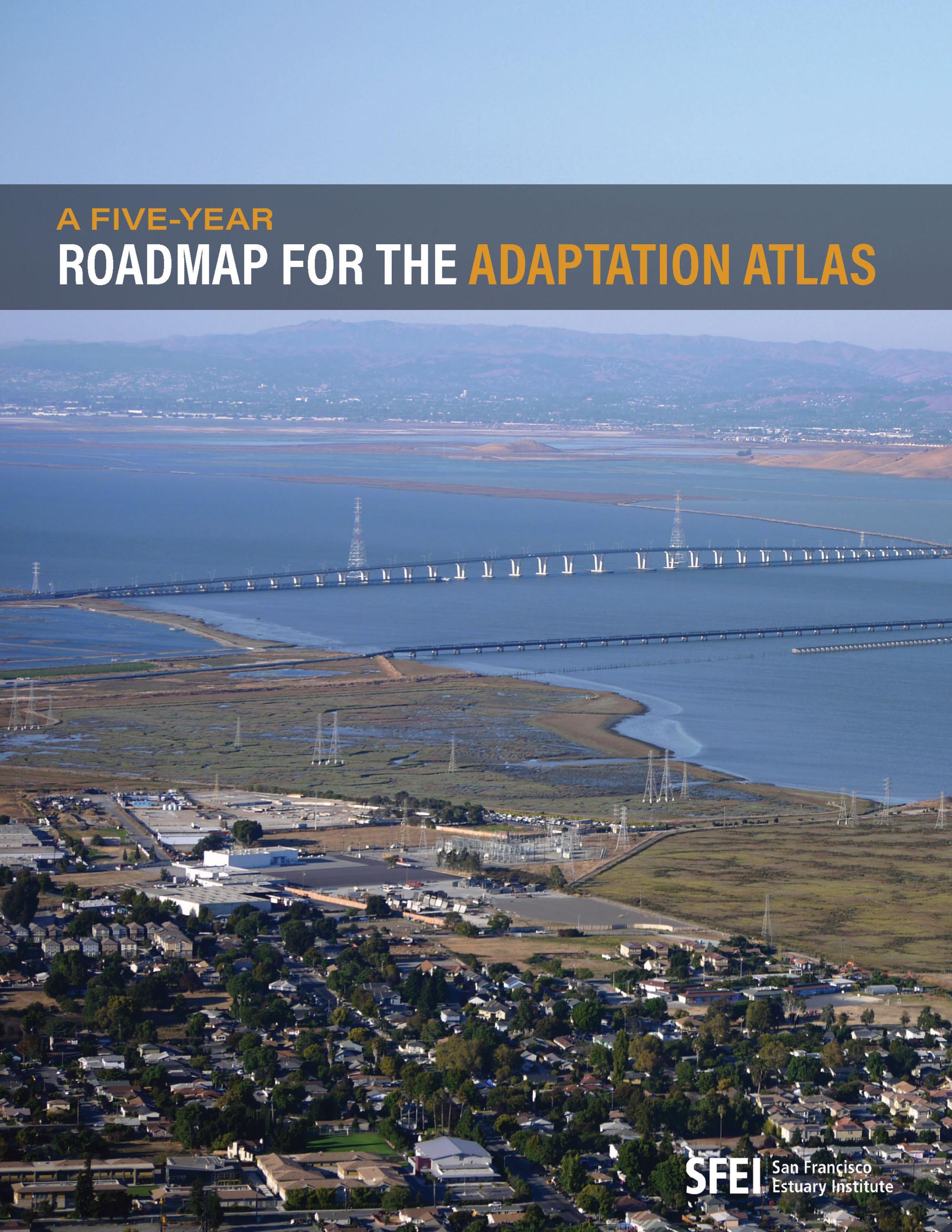
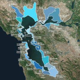
The San Francisco Bay Shoreline Adaptation Atlas, developed by SFEI and SPUR in 2019, provides a framework for addressing sea-level rise through nature-based solutions. By defining Operational Landscape Units (OLUs)—planning units based on natural processes rather than jurisdictional boundaries—the Atlas helps communities coordinate adaptation efforts more effectively. While the Atlas has been widely used in regional planning, outreach efforts have been limited due to funding constraints. With the passage of California Senate Bill 272 (2023), requiring local governments to develop sea-level rise adaptation plans by 2034, expanding awareness and use of the Atlas is increasingly urgent. Additionally, climate threats such as compound flooding—caused by extreme rainfall and rising sea levels—highlight the need to extend the Atlas beyond baylands to contributing watersheds, which influence flood risks and adaptation potential. To enhance regional climate resilience, SFEI proposes a five-year roadmap focusing on (1) promoting the Adaptation Atlas Approach, (2) expanding science communications, (3) updating the Atlas to include watersheds, and (4) addressing critical data gaps. By advancing this work, SFEI aims to support planners, policymakers, and communities in developing science-based, nature-driven climate adaptation strategies.
| Attachment | Size |
|---|---|
| 5 Year Roadmap Adaptation Atlas, version 6 | 11.68 MB |