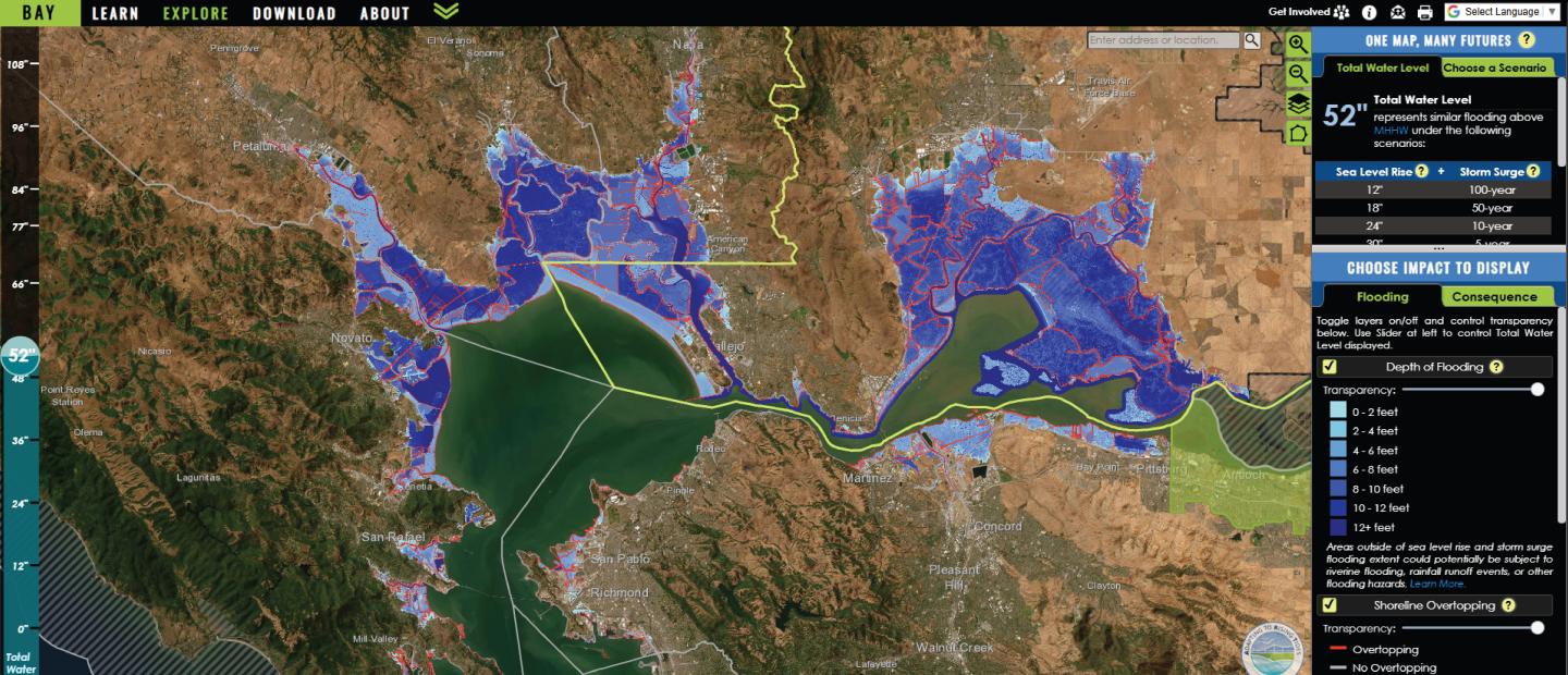
Project: Adapting to Rising Tides: Bay Shoreline Flood Explorer
In partnership with the Bay Conservation and Development Commission, SFEI built the Bay Shoreline Flood Explorer, a tool that allows you to visualize sea level rise and flood risk projections. Design plays an important role in the tool, from establishing a strong brand to conveying technical data using colors and symbologies that are easy to understand. These elements help improve the user experience and amplify the tool’s impact: by easily visualizing the consequences of flooding, planners and decision makers can more effectively identify and prioritize adaptation responses.