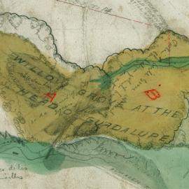
Coyote Creek Watershed Historical Ecology Study
Dates
2006
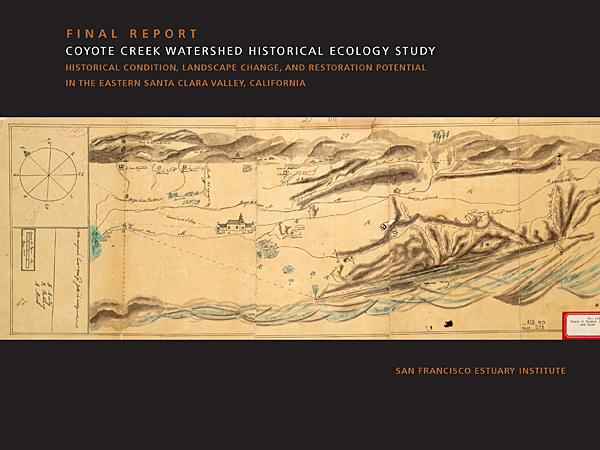
Historical condition, Landscape change and restoration potential in the Eastern Santa Clara Valley, California
This report synthesizes historical evidence into a picture of how Coyote Creek looked and functioned before intensive modification. Prepared for the Santa Clara Valley Water District, the report helps explain contemporary landscape conditions and identify options for watershed restoration, natural flood protection, and integrated water management.
Download the Report
Download GIS Data
This dataset includes Santa Clara Valley and adjacent baylands
ESRI ArcMap 10 file geodatabase (.gdb) format
Historical Habitats, Channels and Distributaries
Associated Staff



Josh Collins (former staff)
Robin M. Grossinger (former staff)
Other Individual Contributors
Elise Brewster
Project Funders

Programs & Focus Areas
Associated Data
Location

Santa Clara County

Associated Projects