EcoAtlas Overview
EcoAtlas is a set of tools for assembling, visualizing, sharing, and reporting environmental data and information. Used individually or together, the tools are tailored to meet specific needs of environmental planners, regulators, managers, and scientists.
Informing Resource Management
SFEI’s rigorous data collection and visualization has provided California agencies and other stakeholders with the science to develop and support important environmental decision making. EcoAtlas is a long-standing technology that remains cutting edge thanks to its credibility as a public resource:
- 27 Years in Development
- 39 Key Partners / Funders
- >4,500 Projects Tracked
- >10,000 CRAM Assessments

Explore EcoAtlas
Explore the different ways that EcoAtlas can help you to accomplish your goals.

Tools for Different Uses
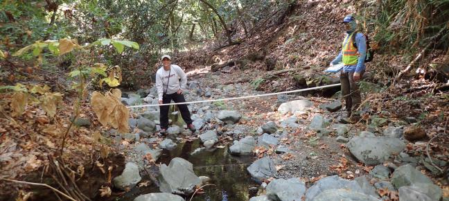
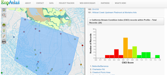
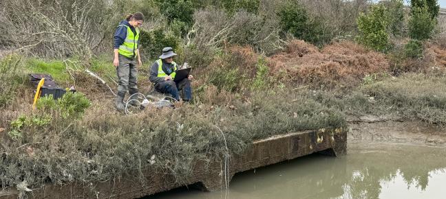
The strength of the EcoAtlas tools is the ability to access and analyze ecological information from a number of perspectives. For example, different users can engage the toolset in different ways and for different purposes. Consider how you want to explore the toolset based on these uses.
Restoration and Mitigation Project Planning
Tools for restoration or mitigation project siting, planning, and permitting within a watershed.
Project Monitoring and Performance
Tools for project implementation, monitoring, and performance tracking.
Data Download and Summary Reports
Tools for exploring and downloading ecological data layers.
Featured Projects
Latest News
Sun, Oct 11 2026
Bridging the Gap for Wetland Restoration
Wed, May 13 2026
New Snapshot of Bay’s Tidal Wetland Recovery

Tue, Apr 28 2026
Explore Tidal Marsh Metrics with EcoAtlas WRMP Profile Tool

Fri, Mar 6 2026
California Aquatic Resource Inventory v3.3 has been published!
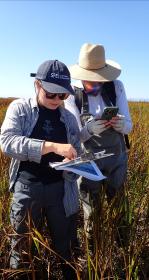
Recent Publications & Resources
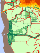
Fact Sheet: Collaborative Lidar for Coastal Management
To develop effective climate vulnerability assessments and adaptation plans, coastal resource managers need to understand how shoreline topography, hydrology, and habitats change over time. The California Ocean Protection…
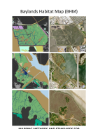
Mapping Methods And Standards For Bayland Habitats In The San Francisco Bay
The purpose of this document is to describe the mapping classification system and methods used to develop the Baylands Habitat Map 2020 (BHM). BHM is a geospatial inventory of tidal and diked baylands and their key…