SF Climate Week - From Science to Action: 'Treasure Maps' for a Resilient Bay
Dates
Apr 25 2025 | 12 - 1pm
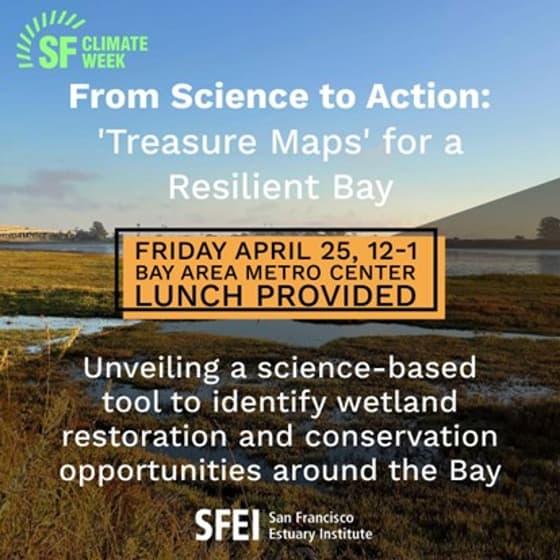
How can we ensure that wetland restoration, flood resilience, and habitat restoration efforts in the Bay Area happen where they will have the greatest impact? The new San Francisco Baylands Resilience Metrics Mapbook provides a science-based approach to identify places where restoration and adaptation projects can increase shoreline resilience.
Join San Francisco Estuary Institute (SFEI) for an interactive discussion on how these maps can accelerate climate adaptation and what’s next for this suite of tools—including opportunities to incorporate water quality, carbon capture, and recreation access into future decision-making.
What to Expect:
- A first look at the Resilience Metrics Mapbook with science-driven insights on where adaptation and restoration projects can be most effective
- Understand how these maps build on SFEI’s 2019 Adaptation Atlas to advance climate adaptation planning and accelerate implementation
- Demo of the web map to see the suite of wildlife support, flood attenuation, and sediment placement metrics available at our fingertips
- Interactive feedback session—help shape the next phase of this work by sharing insights on what should be prioritized next
Event Address
Bay Area Metro Center
More Information
Associated Staff
Programs and Focus Areas
Resilient Landscapes Program