The Santa Clara Valley Water District (Valley Water) collects data on the health, or overall ecological condition, of streams across its five watersheds as a part of its voter-approved Safe, Clean Water and Natural Flood Protection Program. That program identified six priorities including Priority D to Restore Wildlife Habitat and Provide Open Space. Valley Water has seven projects under Priority D including Project D5: Ecological Data Collection and Analysis. The data collected, analyzed, and shared by Project D5 supports Valley Water’s Watershed Master Planning process, which engages the community and uses equitable metrics to identify flood protection and stream stewardship priority actions for a sustainable future.
Since 2010, Project D5 has taken a watershed approach to monitor and assess the overall ecological condition of streams in Santa Clara County’s five major watersheds using a spatially balanced statistical survey design and the state’s recommended California Rapid Assessment Method (CRAM). CRAM is a cost-effective, observational fi eld method that results in a numerical Index Score that characterizes the overall ecological condition of the sampled stream reaches (or Assessment Areas), as well as the whole watershed (with a known level of certainty). As illustrated at the right, underlying the Index Scores are four component Attribute Scores, each of which focuses on a core aspect of a stream’s condition: Buff er and Landscape Context, Hydrology, Physical Structure (physical complexity), and Biotic Structure (vegetation). The four Attribute Scores are averaged to roll up to the Overall Index Score. Scores can also be placed into one of three condition classes of Good, Fair, or Poor condition to further summarize stream conditions at the watershed and sub-watershed scales.
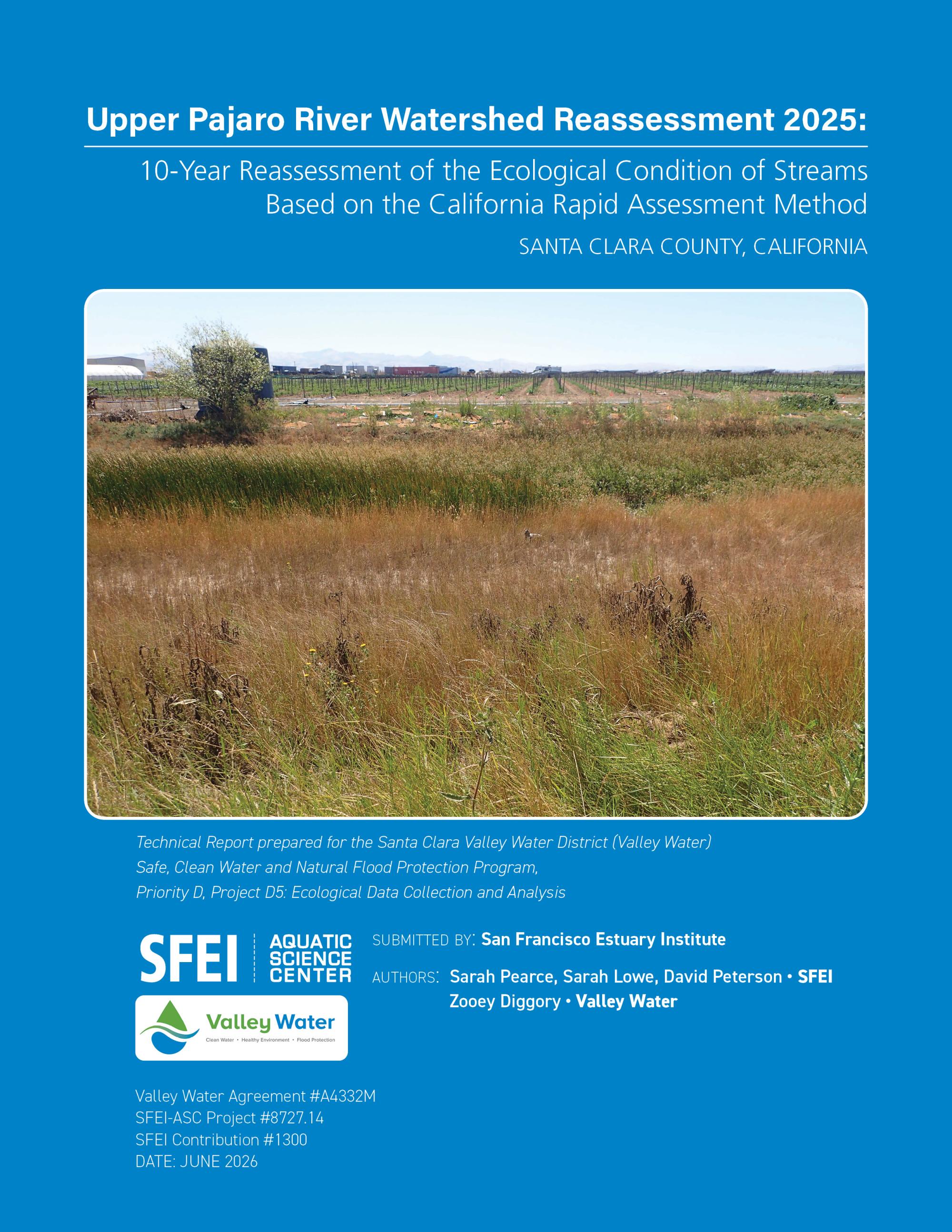
A baseline survey of the ecological condition of streams within the Upper Pajaro River watershed was completed by Project D5 in 2015, and this 10-year reassessment survey was completed in 2025. The survey focuses on characterizing stream conditions in the watershed as a whole, and within four primary areas of interest (PAIs): Uvas Creek, Llagas Creek and Pacheco Creek sub-watersheds, and the Valley floor (Valley) region.
The Project D5 watershed surveys are designed to answer two questions:
● What is the overall ecological condition of streams in the Upper Pajaro River watershed, its sub-watersheds and the valley floor?
● How has stream condition changed over the past 10 years?
| Attachment | Size |
|---|---|
| Upper Pajaro Reassessment 2025.pdf | 67.55 MB |