Mapping Methods And Standards For Bayland Habitats In The San Francisco Bay
Preferred Citation
Braud, A; Kauhanen, P; Murray, R; Palermo, K. 2025. Mapping Methods And Standards For Bayland Habitats In The San Francisco Bay.
Date Published
09/2025
Published Document
| Attachment | Size |
|---|---|
| Baylands Habitat Map Mapping Methods and Standards v1.2 | 11.39 MB |
Abstract
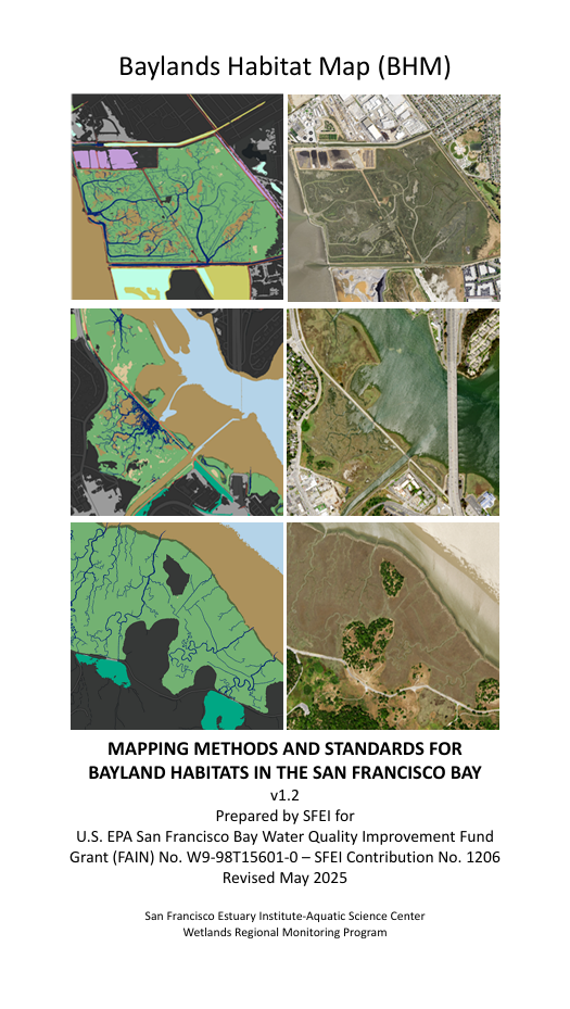
The purpose of this document is to describe the mapping classification system and methods used to develop the Baylands Habitat Map 2020 (BHM). BHM is a geospatial inventory of tidal and diked baylands and their key landform features. The inventory was largely developed using
a computer algorithm, employing a standardized, and regionally relevant classification system to support environmental planning and resource management tracking at a local and regional scale.
Programs and Focus Areas
Environmental Informatics Program
Geographic Information Systems (GIS)
EcoAtlas Tools & Training
Export Links