The Landscapes Scenario Planning Tool (LSPT) is a standardized, science-based resource for analyzing and comparing land-use scenarios in the Sacramento-San Joaquin Delta and Suisun Marsh. The tool takes data from detailed landscape maps and calculates metrics related to ecosystem function (like support for native fish), landscape processes (like flooding and subsidence), infrastructure, and agriculture, along with other key topics relevant to restoration and land-use planning in the region.
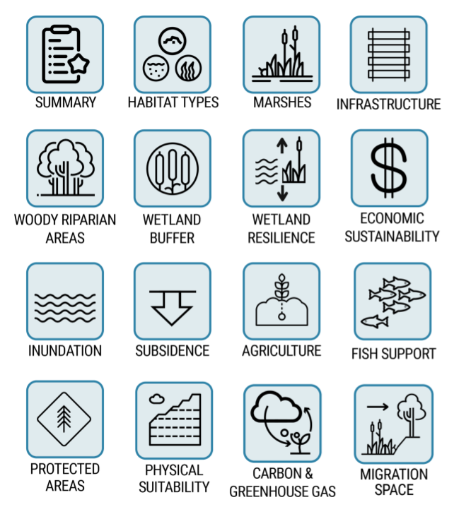
The tool is modular by design, and currently supports 16 individual modules, each with a suite of analyses and metrics. The modular design means that new and additional analyses can be added to the tool over time (including, for example, metrics related to water supply, flood control, and recreation). The tool is also spatially flexible, allowing users to analyze the landscape at multiple scales. For example, it can quantify how a single proposed project would alter metrics in its immediate surroundings, or how a larger regional strategy comprising many individual projects would cumulatively impact the region.
To assist with the process of scenario development (the creation and digitization of alternative restoration and land use scenarios), the tool comes packaged with several useful resources. These include standardized spatial datasets that can inform the development of science-based restoration scenarios, such as maps of elevation and historical and contemporary habitat types. Another set of resources are spatially explicit maps of restoration opportunities and landscape potential, based on SFEI’s “A Delta Renewed” (SFEI-ASC 2016), which serve as a pre-developed menu of physically-appropriate potential projects for users developing their own alternative land-use scenarios. These resources have also been made available via a project web-map available through the project website for use outside of the tool.
| Attachment | Size |
|---|---|
| LSPT User Guide v3.0.0 | 4.56 MB |