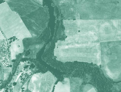
Orthorectified historical aerial photography for the lower Laguna de Santa Rosa watershed was developed as a historical reference tool. The historical aerial photography mosaic was used to develop a reconstruction of the historical landscape and prevailing conditions of lower Laguna de Santa Rosa watershed. This dataset was developed to provide information for watershed management, the restoration of habitats, flood protection, and local education and research. More information about the project is available at http://www.sfei.org/LagunadeSantaRosaHE . This data set andother information about the project is also available at http://sonomavegmap.org/
Given the challenges of historical data, accuracy varies in different parts of the image, and in some places horizontal displacement may be as high as 50 meters. For this reason, we recommend that the imagery be used at a coarse scale. Caution should be used when comparing this imagery to more spatially accurate contemporay sources.
Data may be subject to change without prior notification. If this data is modified, changes should be documented in a metadata record that should accompany all redistributed data. If data is transmitted or provided in any form to another user, the data must be accompanied by a copy of this disclaimer and all documentation provided with the original data set, including the full metadata record. SFEI-ASC requests that the use of these data in any map, publication, or report should cite this study or the direct data source(s) used and give proper attribution and credit to the originators of the data.