East Contra Costa County Historical Ecology Study

SFEI conducted a historical ecology assessment of natural resources in East Contra Costa County in partnership with Contra Costa County and the Contra Costa Watershed Forum. Through the study, SFEI collected and analyzed data to build understanding of the historical alignments of creeks, the natural pattern of riparian and dryland habitat types, and the locations of former seasonal and perennial wetlands. This study developed new methods for assessing uplands, including use of Wieslander Vegetation Type Maps, compiled in the 1920s and 30s. The data developed through the project can help identify valuable habitat remnants, prioritize restoration opportunities and strategies, and recognize landscape trends. The project was been designed specifically to inform the East Contra Costa County Habitat Conservation Plan process.
Project Status
The project was completed in November 2011.
For More Information Contact
Partners:
Funders:
Associated Staff:
Associated Data:
Programs and Focus Areas:
Resilient Landscapes Program
Historical Ecology
Watershed Science & Management
Terrestrial Ecology
Related Projects, News, and Events:
 Santa Clara Valley Water District Priority D5 Project's Watershed Condition Assessments (2010 to present) (Project)
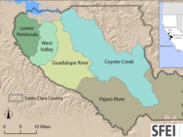
https://www.valleywater.org/project-updates/2012-d5-ecological-data-collection-and-analysisSFEI and the Santa Clara Valley Water District's (Valley Water) Priority D-5 Project have been conducting baseline ecological condition assessments in Santa Clara County, CA to characterize the distribution and abundance of stream and wetlands in five major watersheds, and to assess the overall ecological conditions of streams in the watersheds based on the California Rapic Assessment Method for streams (CRAM). The surveys employ the state's recommended Wetland and Riparian Area Monitoring Plan's watershed aproach that includes the use of GIS-base maps of aquatice resources (BAARI), and spatially-balanced ambient stream condition surveys using CRAM.