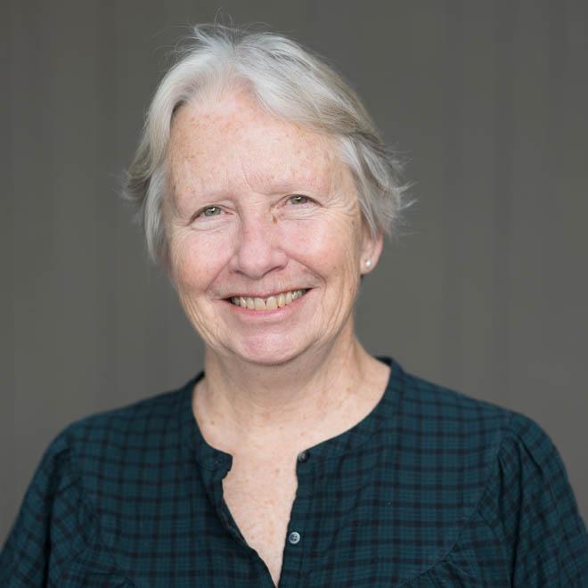
Donna Ball
Donna Ball, MS
Senior Scientist
Resilient Landscapes Program
Carbon, Ecosystems & Climate
Delta Science & Management
Shoreline Resilience
5107467346
Donna has worked as a restoration ecologist with over 15 years of experience in tidal wetland restoration in San Francisco Bay. Donna most recently served as the Habitat Restoration Director for Save The Bay where she led a community-based restoration and education program engaged in wetland restoration. She graduated with a M.S. degree in Environmental Science with a focus on marine and estuary systems from Western Washington University in Bellingham, WA.
Her areas of expertise include wetland restoration, salt marsh ecology, horizontal levees, and sea level rise and she has contributed to projects such as the Oro Loma Levee Project, Baylands Habitat Goals Update, Wetland Regional Monitoring Program. Donna Ball is serving as the Lead Scientist for the South Bay Salt Pond Restoration Project housed at SFEI and as a Senior Scientist at SFEI working on a variety of projects in the Resilient Landscapes team.
Related Projects, News, and Events
 Baylands Habitat Map 2020 (Project)
The Baylands Habitat Map 2020 (BHM 2020) updates the existing map of tidal marsh, tidal flats and diked baylands and incorporates the many changes in baylands distribution and abundance that have occurred over the last two decades. It also includes new information about land use and infrastructure that affects baylands restoration and management constraints and opportunities.
 Delta Wetlands and Resilience: Blue Carbon and Marsh Accretion (Project)
Restoring wetlands in the Sacramento-San Joaquin Delta (Delta) can mitigate subsidence, sequester carbon, reduce GHG emissions, and provide habitat for wetland dependent species. These benefits–their magnitude, scope, and resilience to future sea level rise–depend on the type and siting of new wetlands; rates of carbon accumulation, GHG emissions, and vertical accretion; and opportunities for wetlands to migrate upslope.
 Where creeks meet baylands: opportunities to re-establish freshwater and sediment delivery to the baylands of San Francisco Bay (Project)
As baylands restoration and climate change alter the ecosystems of the Bay, novel restoration approaches are needed to meet growing challenges. Paramount among these challenges for the baylands is a projected lack of inorganic sediment to help wetland elevations keep pace with sea-level rise over the coming decades. One restoration approach that may address this challenge is to diversify the way that creeks are connected to baylands, returning those connections to the adaptive, resilient nodes of habitat complexity that they were historically.
 Delta Aquatic Resource Inventory (Project)
DARI is the Delta Aquatic Resources Inventory of surface waters, wetlands and other aquatic resources in the Sacramento-San Joaquin Delta (Delta). The goal of the DARI project is to develop a geospatial inventory of aquatic resources that will be used as a common base map for the Delta. A similar mapping approach used to create the California Aquatic Resource Inventory (CARI) will be applied to provide a map of the aquatic resources and their associated attributes.
 Landscape Scenario Planning Tool (Project)
This project is a tool for planning scenarios of landscape-scale restoration. The tool is designed to inform ongoing and future restoration planning efforts. In particular, this tool will help inform implementation of restoration objectives as described in the Delta Plan, as well as the ongoing Ecosystem Amendment to Chapter 4.
In partnership with the Delta Stewardship Council, the San Francisco Estuary Institute has developed version 2.0 of the Landscape Scenario Planning Tool, a GIS-based analysis toolkit to evaluate user-designed land use and restoration scenarios for the Sacramento-San Joaquin Delta and Suisun Marsh. This free mapping toolbox brings together ten years of science-based research and peer-reviewed methods for California’s Delta-Suisun region.
 New Delta Habitat Map! (News)
The Delta Aquatic Resource Inventory (DARI) is a map of surface waters, wetlands and other aquatic resources in the Sacramento-San Joaquin Delta. A similar mapping approach used to create the Bay Area Aquatic Resource Inventory (BAARI) was applied to complete a consistent map across the larger San Francisco Estuary. Both DARI and BAARI are integrated into the California Aquatic Resource Inventory (CARI), which serves as the basemap in EcoAtlas.

