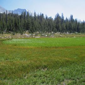
The California Tahoe Conservatory and Tahoe Regional Planning Agency in partnership with SFEI and the Lahontan Regional Water Board demonstrated the WRAMP monitoring and assessment methods in two Lake Tahoe Basin watersheds: Third Creek and Upper Truckee River. This included  developing detailed and standardized maps of the aquatic resources within the two watersheds, based on BAARI's mapping standards, which led to developing and adding new mapping methods to accommodate new wetland types such as wet meadows. The maps were completed in 2012 and incorporated into EcoAtlas. For more information about the demonstration project visit the project website.
View TARI online at EcoAltas or download the GIS dataset for Third Creek and Upper Truckee River watersheds from the project website here.
Mapping procedures and standards can be found here.